MyTopo
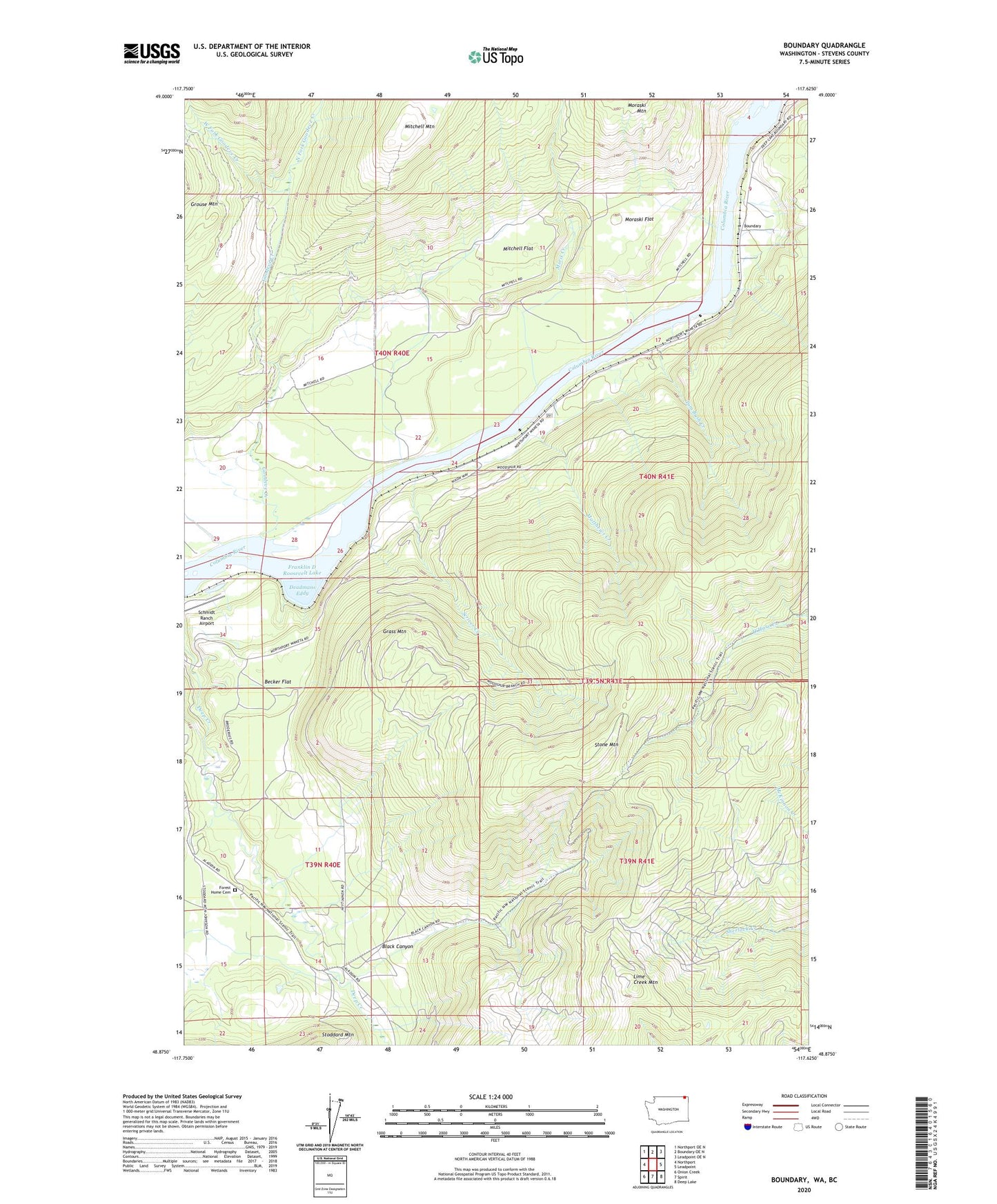
Boundary Washington US Topo Map
Couldn't load pickup availability
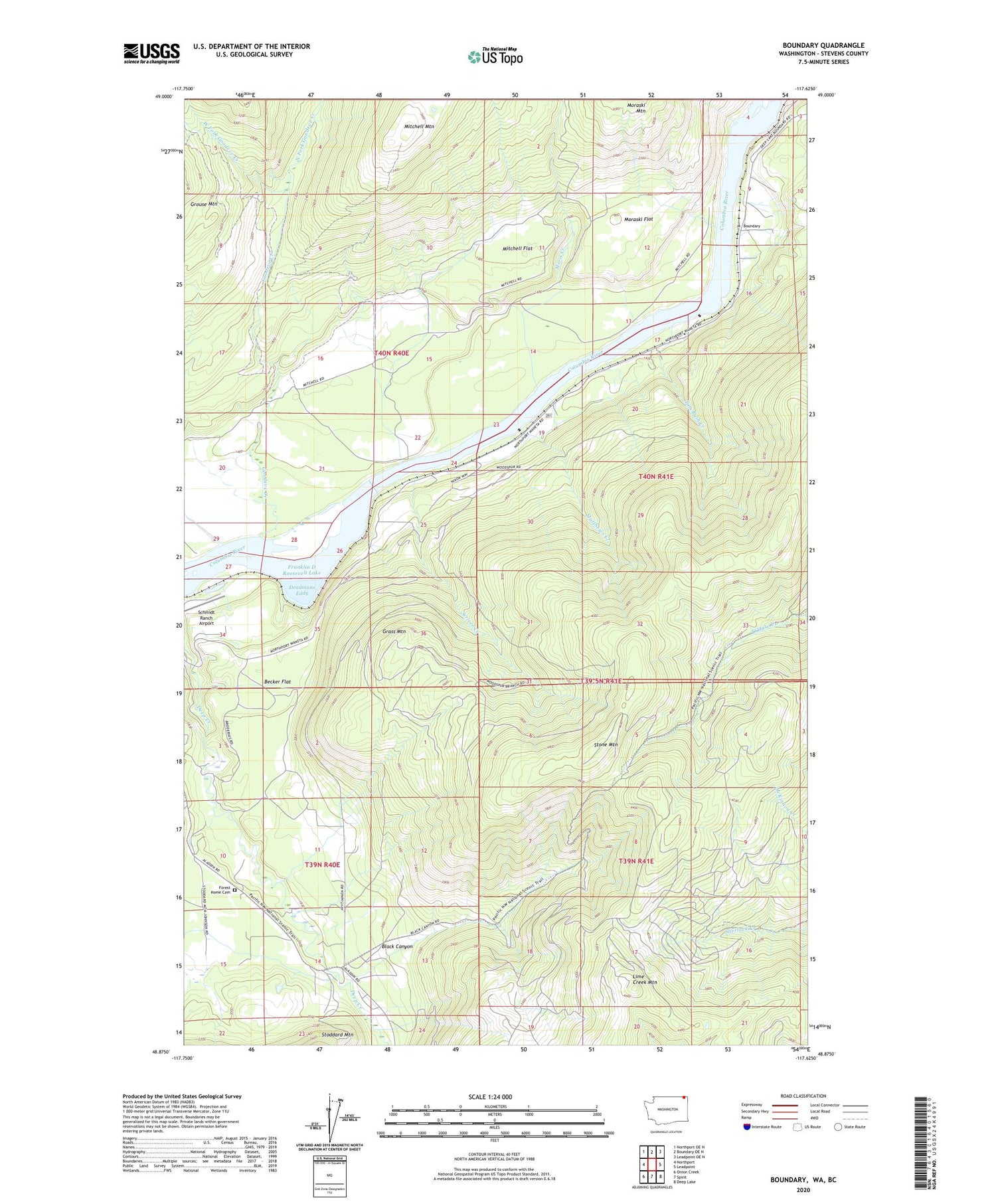
Also explore the Boundary Forest Service Topo of this same quad for updated USFS data
2023 topographic map quadrangle Boundary in the state of Washington. Scale: 1:24000. Based on the newly updated USGS 7.5' US Topo map series, this map is in the following counties: Stevens. The map contains contour data, water features, and other items you are used to seeing on USGS maps, but also has updated roads and other features. This is the next generation of topographic maps. Printed on high-quality waterproof paper with UV fade-resistant inks.
Quads adjacent to this one:
West: Northport
Northwest: Northport OE N
North: Boundary OE N
Northeast: Leadpoint OE N
East: Leadpoint
Southeast: Deep Lake
South: Spirit
Southwest: Onion Creek
This map covers the same area as the classic USGS quad with code o48117h6.
Contains the following named places: Advance Mine, Becker Flat, Black Canyon, Boundary, Deadmans Eddy, Deep Creek School, Forest Home Cemetery, Goodeve Creek, Grass Mountain, Holiday Camp, Lime Creek Mountain, Lind Ranch, Lutjen Cabin, Matthews Creek, Melrose Mine, Mitchell Flat, Mitchell Mountain, Moraski Flat, Moris Creek, North Fork Goodeve Creek, Ruby Dam, Schmidt Ranch Airport, Scriver Creek, Stone Mountain, Stroh Spur, Tom Bush Creek, West Fork Goodeve Creek