MyTopo
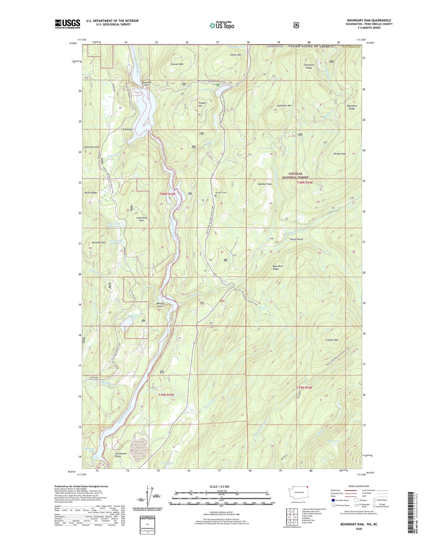
Boundary Dam Washington US Topo Map
Couldn't load pickup availability
Also explore the Boundary Dam Forest Service Topo of this same quad for updated USFS data
2023 topographic map quadrangle Boundary Dam in the state of Washington. Scale: 1:24000. Based on the newly updated USGS 7.5' US Topo map series, this map is in the following counties: Pend Oreille. The map contains contour data, water features, and other items you are used to seeing on USGS maps, but also has updated roads and other features. This is the next generation of topographic maps. Printed on high-quality waterproof paper with UV fade-resistant inks.
Quads adjacent to this one:
West: Abercrombie Mountain
Northwest: Abercrombie Mountain OE N
North: Boundary Dam OE N
East: Gypsy Peak
Southeast: Pass Creek
South: Metaline Falls
Southwest: Metaline
This map covers the same area as the classic USGS quad with code o48117h3.
Contains the following named places: Beaver Creek, Blue Bird Ridge, Boundary Dam, Boundary Lake, Boundary Substation Heliport, Confusion Ridge, Contact Mountain, Crater Lake, Crawford State Park, Crescent Lake, Crescent Lake Campground, Crowell Mountain, Deadmans Eddy, Divide Peak, Dolomite Mountain, Eldorado Creek, Everett Creek, Fence Creek, Flume Creek, Forest Mountain, Grandview Mine, Grandview Point, Harvey Grave, Horsefly Hill, Josephine Mine, Lead King Hills, Ledbetter Lake, Lime Creek, Lower Lead King Lake, Lucky Strike Mine, Metalline Falls Port of Entry, Morning Mine, Pend Oreille Mine, Pend Oreille Mine Tailings Pond Dam, Pend Oreille Mine Taillings Pond, Pewee Creek, Pewee Falls, Riverside Mine, Slate Creek, Slumber Creek, Slumber Peak, Threemile Creek, Timber Hill, Uncas Gulch, Upper Lead King Lake, Vista House, Whiskey Gulch, Z Canyon


