MyTopo
Boylston Washington US Topo Map
Couldn't load pickup availability
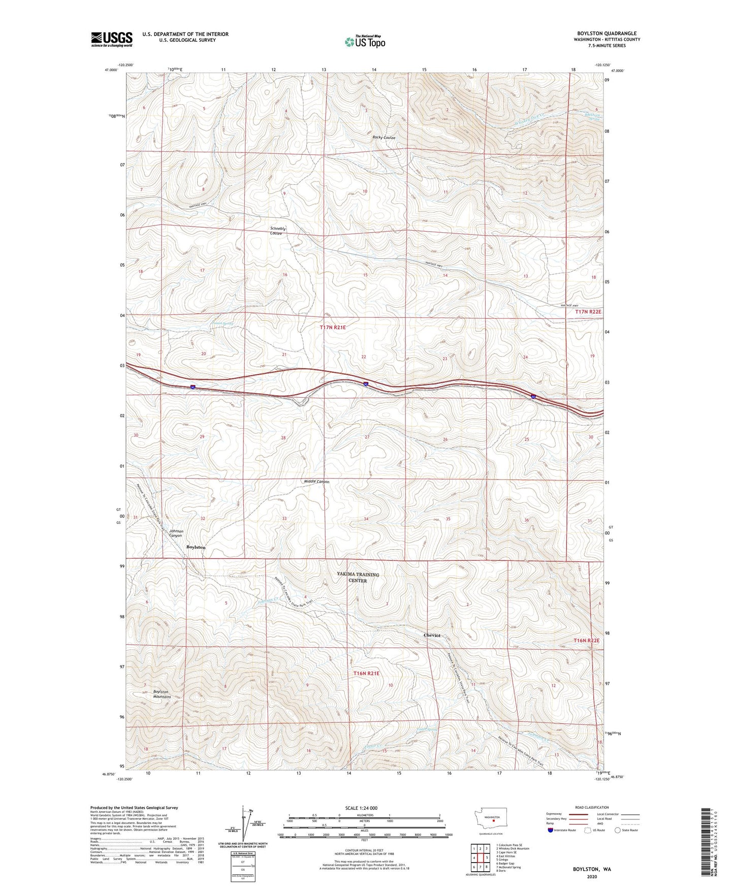
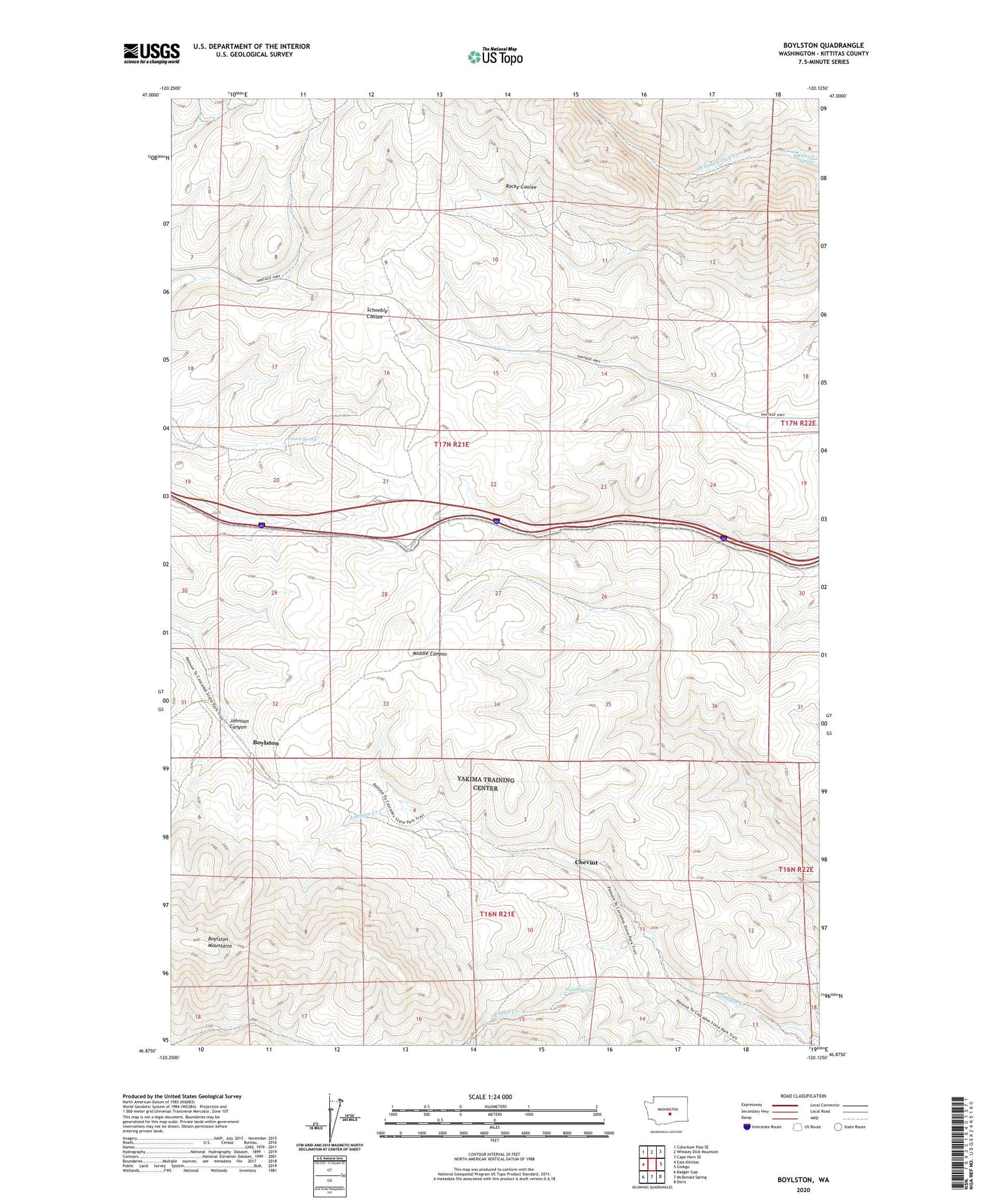
2020 topographic map quadrangle Boylston in the state of Washington. Scale: 1:24000. Based on the newly updated USGS 7.5' US Topo map series, this map is in the following counties: Kittitas. The map contains contour data, water features, and other items you are used to seeing on USGS maps, but also has updated roads and other features. This is the next generation of topographic maps. Printed on high-quality waterproof paper with UV fade-resistant inks.
Quads adjacent to this one:
West: East Kittitas
Northwest: Colockum Pass SE
North: Whiskey Dick Mountain
Northeast: Cape Horn SE
East: Ginkgo
Southeast: Doris
South: McDonald Spring
Southwest: Badger Gap
Contains the following named places: Boylston, Buckhorn Spring, Cheviot, Foster Creek, Foster Spring, Kittitas Micro-Wave Station, Poison Spring