MyTopo
Cody Butte Washington US Topo Map
Couldn't load pickup availability
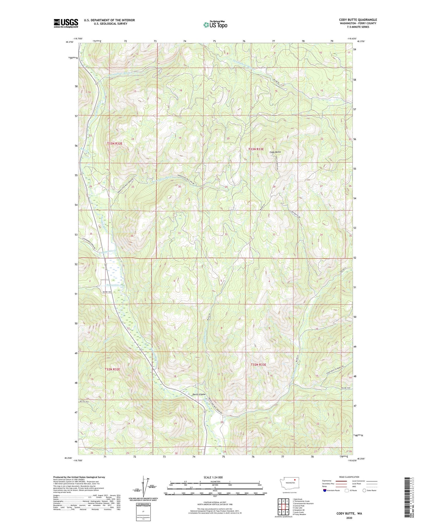
2023 topographic map quadrangle Cody Butte in the state of Washington. Scale: 1:24000. Based on the newly updated USGS 7.5' US Topo map series, this map is in the following counties: Ferry. The map contains contour data, water features, and other items you are used to seeing on USGS maps, but also has updated roads and other features. This is the next generation of topographic maps. Printed on high-quality waterproof paper with UV fade-resistant inks.
Quads adjacent to this one:
West: Central Peak
Northwest: Bald Knob
North: Thirteenmile Creek
Northeast: Seventeenmile Mountain
East: Cody Lake
Southeast: Frosty Meadow
South: Louie Creek
Southwest: Nespelem NE
This map covers the same area as the classic USGS quad with code o48118c6.
Contains the following named places: Bear Creek, Cody Butte, Cody Butte Lookout, Cub Creek, Deadhorse Creek, Devils Elbow, North Nanamkin Creek, South Nanamkin Creek, Thirtymile Creek, Twentyfive Mile Creek, Twentythree Mile Creek