MyTopo
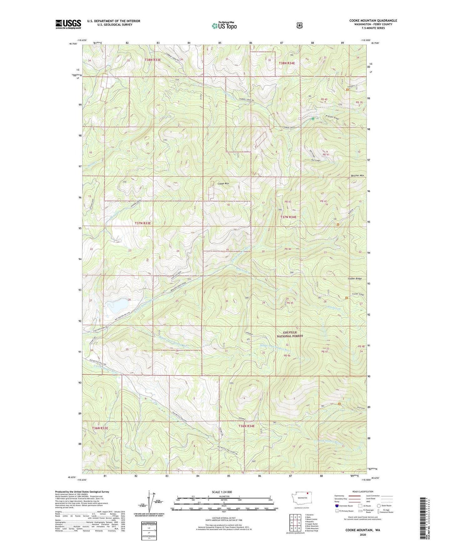
Cooke Mountain Washington US Topo Map
Couldn't load pickup availability
Also explore the Cooke Mountain Forest Service Topo of this same quad for updated USFS data
2023 topographic map quadrangle Cooke Mountain in the state of Washington. Scale: 1:24000. Based on the newly updated USGS 7.5' US Topo map series, this map is in the following counties: Ferry. The map contains contour data, water features, and other items you are used to seeing on USGS maps, but also has updated roads and other features. This is the next generation of topographic maps. Printed on high-quality waterproof paper with UV fade-resistant inks.
Quads adjacent to this one:
West: Republic
Northwest: Karamin
North: Malo
Northeast: Mount Leona
East: Copper Butte
Southeast: Sherman Peak
South: Edds Mountain
Southwest: Bear Mountain
This map covers the same area as the classic USGS quad with code o48118f5.
Contains the following named places: Belcher Mountain, Bracken Creek, Cooke Mountain, Dollar Mountain Burn Game Preserve, Kettle River Quarry, Key East and West Pit Mine, Middle Fork Sanpoil River