MyTopo
Dead Canyon Washington US Topo Map
Couldn't load pickup availability
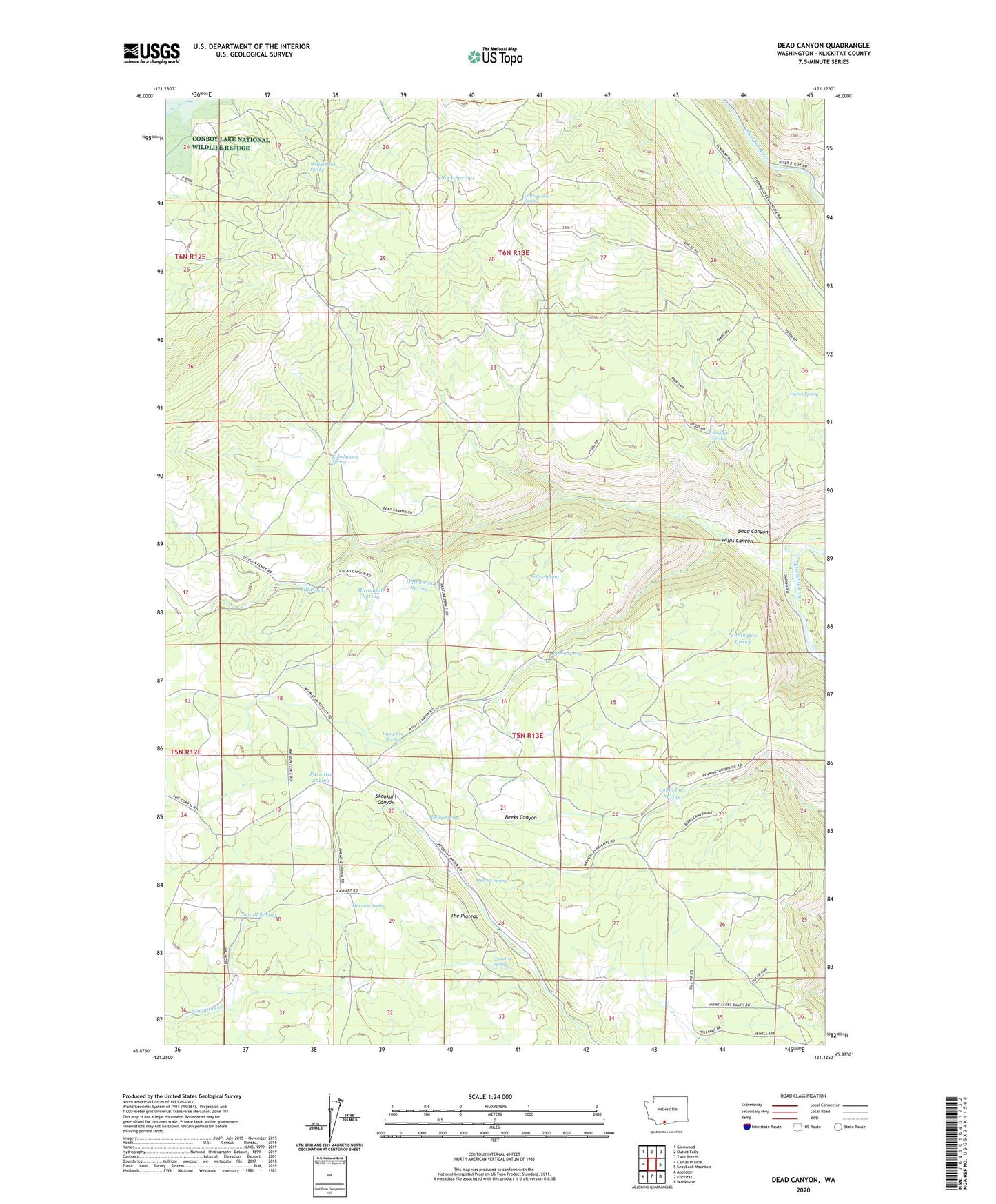
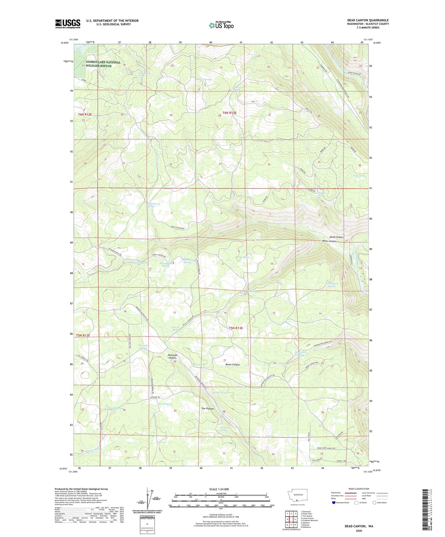
2020 topographic map quadrangle Dead Canyon in the state of Washington. Scale: 1:24000. Based on the newly updated USGS 7.5' US Topo map series, this map is in the following counties: Klickitat. The map contains contour data, water features, and other items you are used to seeing on USGS maps, but also has updated roads and other features. This is the next generation of topographic maps. Printed on high-quality waterproof paper with UV fade-resistant inks.
Quads adjacent to this one:
West: Camas Prairie
Northwest: Glenwood
North: Outlet Falls
Northeast: Twin Buttes
East: Grayback Mountain
Southeast: Wahkiacus
South: Klickitat
Southwest: Appleton
Contains the following named places: Boulder Spring, Camp Five Spring, Camp Six Spring, Cottonwood Spring, Dead Canyon, Fill Pond, Gates Spring, Gregory Spring, Harmon Spring, Hathaway Spring, Kuhnhausen Spring, Ladies Spring, Legall Spring, Masondale Spring, Murray Spring, Myting Spring, Paradise Spring, Pennington Spring, Rock Springs, Spoon Spring, The Plateau, Wellenbrock Spring, Willis Canyon