MyTopo
Klickitat Washington US Topo Map
Couldn't load pickup availability
Also explore the Klickitat Forest Service Topo of this same quad for updated USFS data
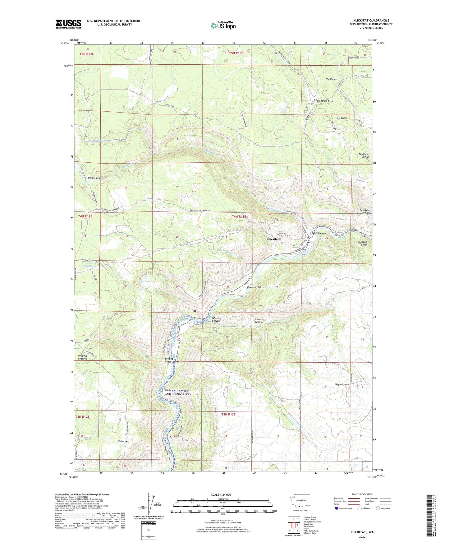
2023 topographic map quadrangle Klickitat in the state of Washington. Scale: 1:24000. Based on the newly updated USGS 7.5' US Topo map series, this map is in the following counties: Klickitat. The map contains contour data, water features, and other items you are used to seeing on USGS maps, but also has updated roads and other features. This is the next generation of topographic maps. Printed on high-quality waterproof paper with UV fade-resistant inks.
Quads adjacent to this one:
West: Appleton
Northwest: Camas Prairie
North: Dead Canyon
Northeast: Grayback Mountain
East: Wahkiacus
Southeast: Stacker Butte
South: The Dalles North
Southwest: Lyle
This map covers the same area as the classic USGS quad with code o45121g2.
Contains the following named places: Dallesport-Klickitat Division, Fisher Hill, High Prairie, Hilton Spring, Johnson Canyon, Klickitat, Klickitat Census Designated Place, Klickitat County Fire District 12, Klickitat Post Office, Klickitat Schools, Kuhnhausen Creek, Logging Camp Canyon, Long Butte, Mark Res Dam, Nagel Spring, Pitt, Shippeys Meadows, Simmons Creek, Skookum Canyon, Skookum Flat, Snyder Canyon, Snyder Creek, Snyder Swale, Timber Valley, Wheeler Canyon, Woodruff Mill, ZIP Codes: 98635, 98670