MyTopo
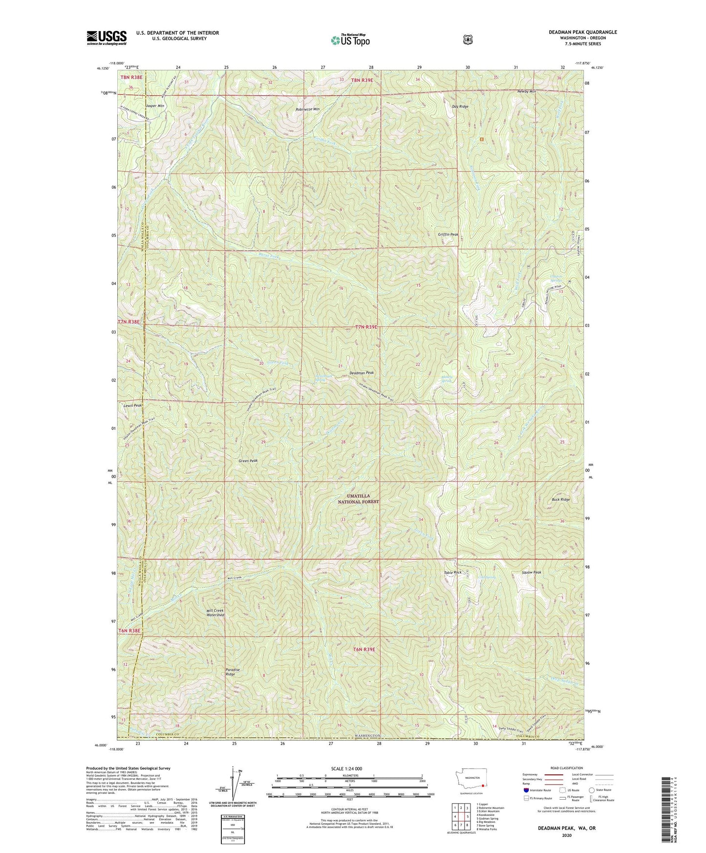
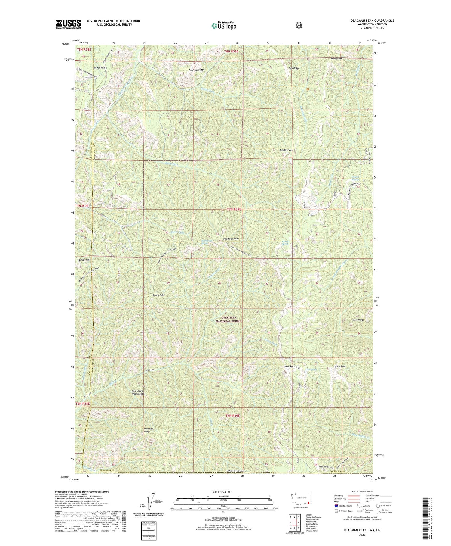
Deadman Peak Washington US Topo Map
Couldn't load pickup availability
2020 topographic map quadrangle Deadman Peak in the state of Washington. Scale: 1:24000. Based on the newly updated USGS 7.5' US Topo map series, this map is in the following counties: Columbia, Walla Walla, Wallowa, Umatilla. The map contains contour data, water features, and other items you are used to seeing on USGS maps, but also has updated roads and other features. This is the next generation of topographic maps. Printed on high-quality waterproof paper with UV fade-resistant inks.
Quads adjacent to this one:
West: Kooskooskie
Northwest: Coppei
North: Robinette Mountain
Northeast: Eckler Mountain
East: Godman Spring
Southeast: Wenaha Forks
South: Bone Spring
Southwest: Big Meadows
Contains the following named places: Blakely Spring, Burnt Fork, Clayton Springs, Cold Spring, Day Ridge, Deadman Creek, Deadman Peak, Green Fork, Green Peak, Griffin Fork, Griffin Peak, Intake Trail, Lewis Peak, Mill Creek Watershed, North Fork Mill Creek, Squaw Peak, Switchback Spring, Table Rock