MyTopo
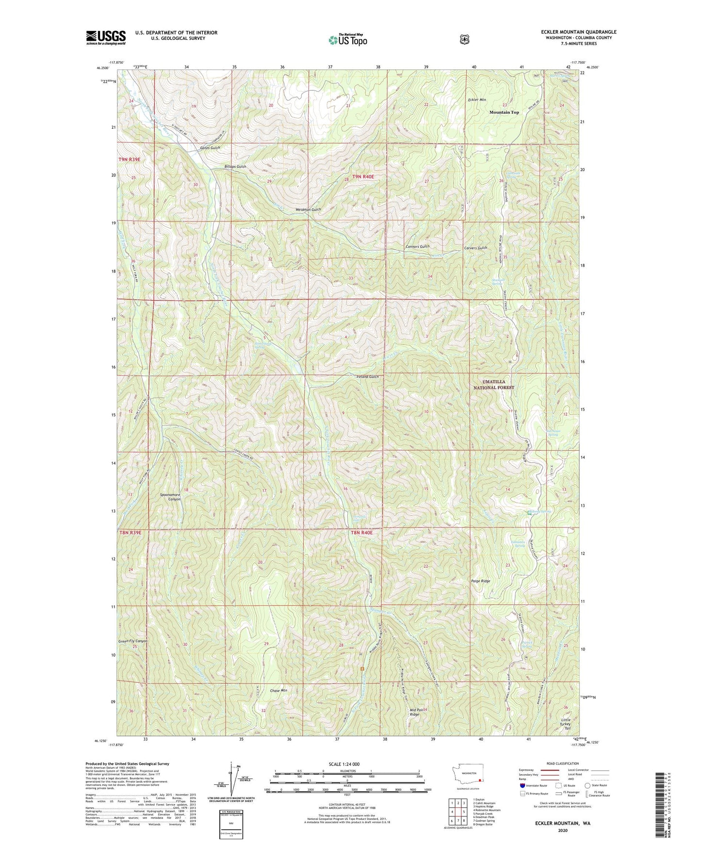
Eckler Mountain Washington US Topo Map
Couldn't load pickup availability
Also explore the Eckler Mountain Forest Service Topo of this same quad for updated USFS data
2023 topographic map quadrangle Eckler Mountain in the state of Washington. Scale: 1:24000. Based on the newly updated USGS 7.5' US Topo map series, this map is in the following counties: Columbia. The map contains contour data, water features, and other items you are used to seeing on USGS maps, but also has updated roads and other features. This is the next generation of topographic maps. Printed on high-quality waterproof paper with UV fade-resistant inks.
Quads adjacent to this one:
West: Robinette Mountain
Northwest: Dayton
North: Cahill Mountain
Northeast: Hopkins Ridge
East: Panjab Creek
Southeast: Oregon Butte
South: Godman Spring
Southwest: Deadman Peak
This map covers the same area as the classic USGS quad with code o46117b7.
Contains the following named places: Billups Gulch, C Hunt Ranch, Camp Mead, Carvers Gulch, Coates Creek, Connors Gulch, Dayton Division, E Watts Ranch, Eckler Mountain, Edmiston Spring, Gates Gulch, Gilbreath Spring, Green Fly Canyon, Homestead Spring, Hompegg Falls, Huckleberry Mountain Reservoir Dam, Ireland Gulch, J Able Ranch, Jim Creek, Kendall Monument, L Greiner Ranch, Lewis Creek, Martin Spring, Meadow Creek Trail, Midway, Midway Spring, Mountain Top, Paige Ridge, Patrick Spring, San Sousi Spring, Spangler Creek, Spoonamore Canyon, Stockade Spring, Stockade Spring Campground, Weidman Gulch, Whitney Creek