MyTopo
Hanford Washington US Topo Map
Couldn't load pickup availability
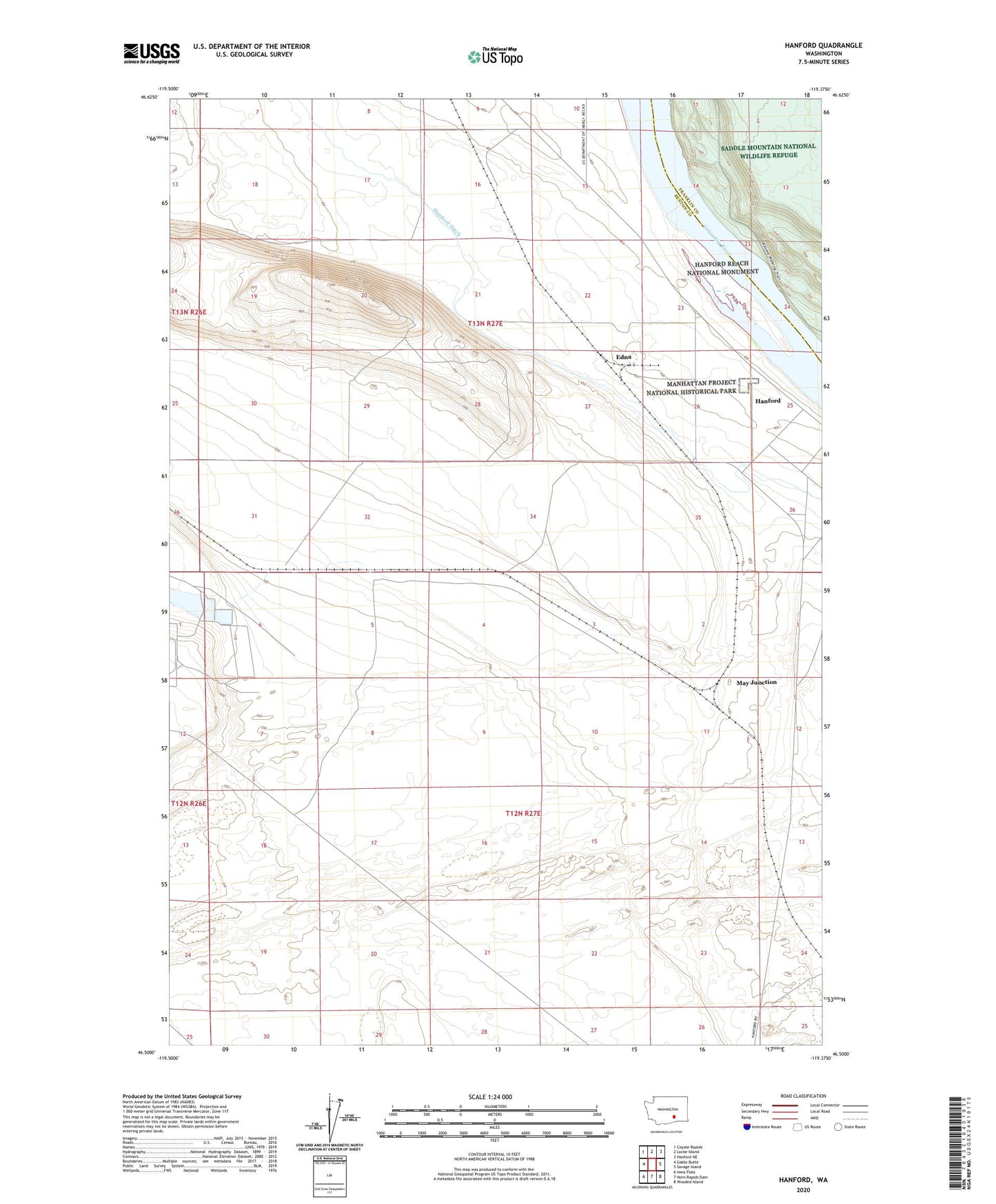
2023 topographic map quadrangle Hanford in the state of Washington. Scale: 1:24000. Based on the newly updated USGS 7.5' US Topo map series, this map is in the following counties: Benton, Franklin. The map contains contour data, water features, and other items you are used to seeing on USGS maps, but also has updated roads and other features. This is the next generation of topographic maps. Printed on high-quality waterproof paper with UV fade-resistant inks.
Quads adjacent to this one:
West: Gable Butte
Northwest: Coyote Rapids
North: Locke Island
Northeast: Hanford NE
East: Savage Island
Southeast: Wooded Island
South: Horn Rapids Dam
Southwest: Iowa Flats
This map covers the same area as the classic USGS quad with code o46119e4.
Contains the following named places: Edna, Hanford, Hanford Ditch, May Junction