MyTopo
Inkster Lake Washington US Topo Map
Couldn't load pickup availability
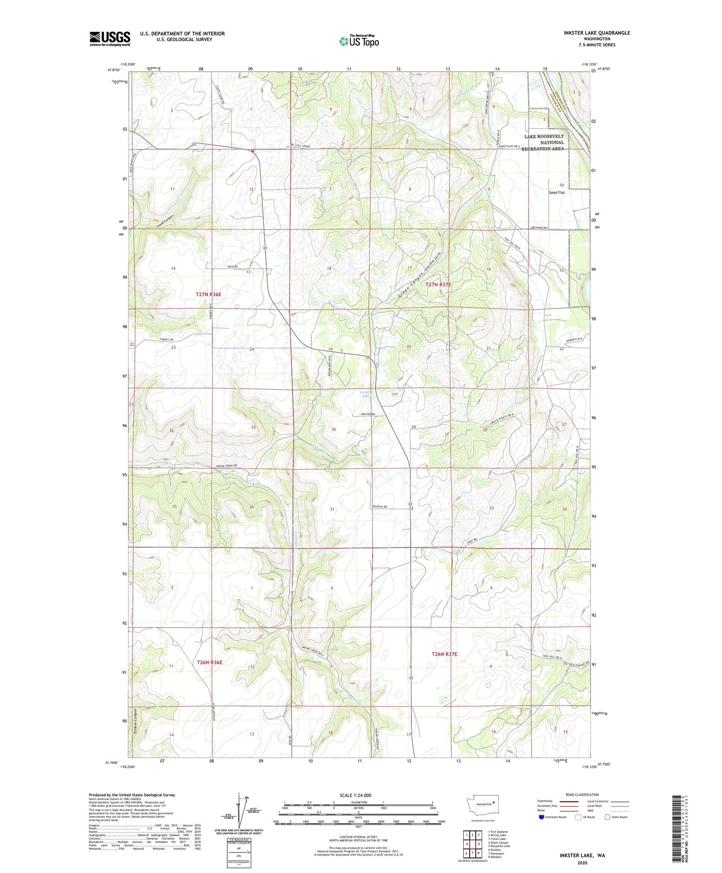
2023 topographic map quadrangle Inkster Lake in the state of Washington. Scale: 1:24000. Based on the newly updated USGS 7.5' US Topo map series, this map is in the following counties: Lincoln, Stevens. The map contains contour data, water features, and other items you are used to seeing on USGS maps, but also has updated roads and other features. This is the next generation of topographic maps. Printed on high-quality waterproof paper with UV fade-resistant inks.
Quads adjacent to this one:
West: Olsen Canyon
Northwest: Fort Spokane
North: McCoy Lake
Northeast: Turtle Lake
East: Benjamin Lake
Southeast: Mondovi
South: Davenport
Southwest: Rocklyn
This map covers the same area as the classic USGS quad with code o47118g2.
Contains the following named places: Alder Creek, Egypt, Egypt Church, Green Canyon, Inkster Lake, Lincoln County Fire District 5 - Egypt Station, North Star Grange, Sand Flat