MyTopo
Olsen Canyon Washington US Topo Map
Couldn't load pickup availability
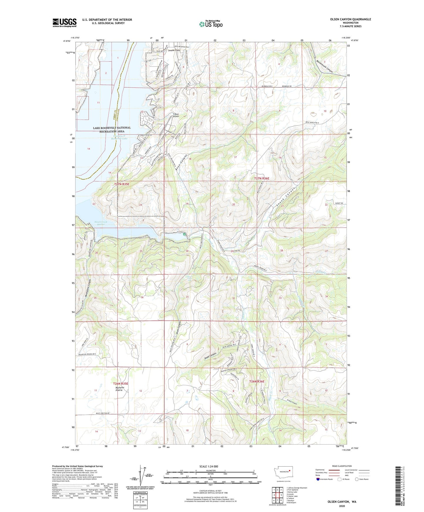
2023 topographic map quadrangle Olsen Canyon in the state of Washington. Scale: 1:24000. Based on the newly updated USGS 7.5' US Topo map series, this map is in the following counties: Lincoln, Ferry. The map contains contour data, water features, and other items you are used to seeing on USGS maps, but also has updated roads and other features. This is the next generation of topographic maps. Printed on high-quality waterproof paper with UV fade-resistant inks.
Quads adjacent to this one:
West: Lincoln
Northwest: Johnny George Mountain
North: Fort Spokane
Northeast: McCoy Lake
East: Inkster Lake
Southeast: Davenport
South: Rocklyn
Southwest: Telford
This map covers the same area as the classic USGS quad with code o47118g3.
Contains the following named places: 7 Bays Airport, Bean Canyon, Dodd Canyon, Egypt, George Creek, Hawk Creek, Hawk Creek Falls, Hawk Creek Harbor, Indian Creek, Logsdon Creek, Moonshine Canyon, Moore Draw, Olsen Canyon, Seven Bays, Snook Canyon, Stock Creek, Trinkle Canyon