MyTopo
Jack Woods Butte Washington US Topo Map
Couldn't load pickup availability
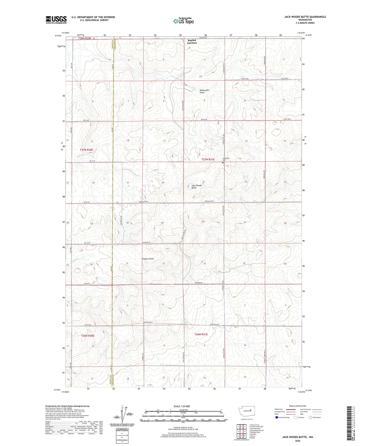
2023 topographic map quadrangle Jack Woods Butte in the state of Washington. Scale: 1:24000. Based on the newly updated USGS 7.5' US Topo map series, this map is in the following counties: Lincoln, Grant. The map contains contour data, water features, and other items you are used to seeing on USGS maps, but also has updated roads and other features. This is the next generation of topographic maps. Printed on high-quality waterproof paper with UV fade-resistant inks.
Quads adjacent to this one:
West: Steamboat Rock SE
Northwest: Electric City
North: Grand Coulee Dam
Northeast: Mica Mountain
East: Broadax Draw
Southeast: Govan
South: Almira
Southwest: Hartline
This map covers the same area as the classic USGS quad with code o47118g8.
Contains the following named places: Bagdad Junction, Grand Coulee Grange, Jack Woods Butte, KEYG-FM (Grand Coulee), Klobuschar Draw, Lafollette Cemetery, ZIP Code: 99103