MyTopo
Jennies Butte Washington US Topo Map
Couldn't load pickup availability
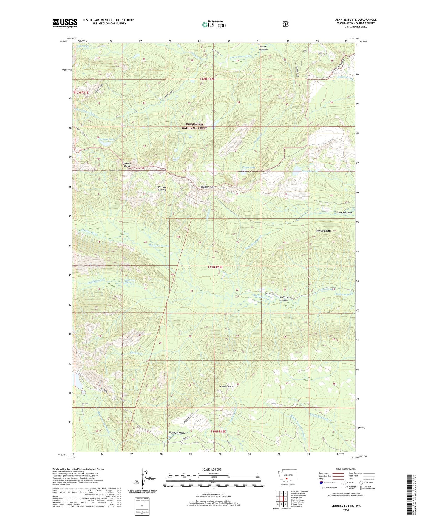
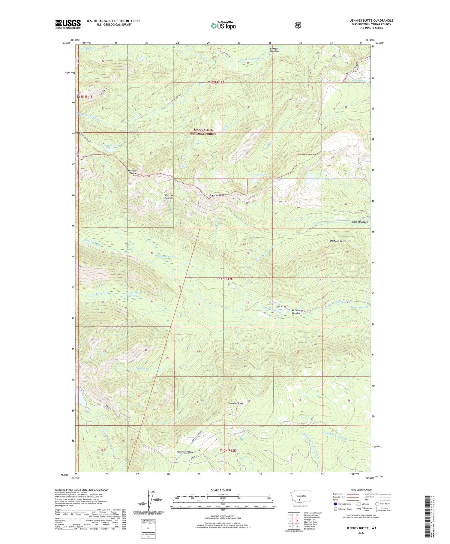
2020 topographic map quadrangle Jennies Butte in the state of Washington. Scale: 1:24000. Based on the newly updated USGS 7.5' US Topo map series, this map is in the following counties: Yakima. The map contains contour data, water features, and other items you are used to seeing on USGS maps, but also has updated roads and other features. This is the next generation of topographic maps. Printed on high-quality waterproof paper with UV fade-resistant inks.
Quads adjacent to this one:
West: Walupt Lake
Northwest: Old Snowy Mountain
North: Pinegrass Ridge
Northeast: Darland Mountain
East: Fairview Ridge
Southeast: Castile Falls
South: Windy Point
Southwest: Glaciate Butte
Contains the following named places: Butte Meadows, Butte Meadows Creek, Cedar Swamp, Cirque Lake, Conrad Creek, Diamond Butte, Diamond Lake, Elkhorn Creek, Howard Lake, Huckleberry Creek, Huckleberry Swamp, Hussey Meadow, Jennies Butte, McCormick Meadow, Petross Creek, Petross Sidehill, Soda Spring, Spencer Point, Surprise Lake, Tenday Creek