MyTopo
Joyce Washington US Topo Map
Couldn't load pickup availability
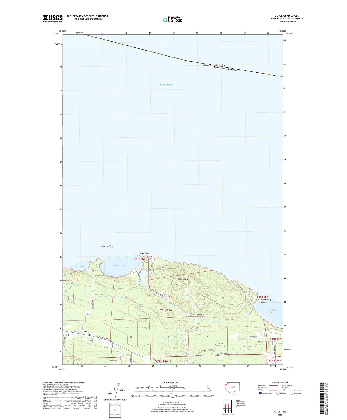
2023 topographic map quadrangle Joyce in the state of Washington. Scale: 1:24000. Based on the newly updated USGS 7.5' US Topo map series, this map is in the following counties: Clallam. The map contains contour data, water features, and other items you are used to seeing on USGS maps, but also has updated roads and other features. This is the next generation of topographic maps. Printed on high-quality waterproof paper with UV fade-resistant inks.
Quads adjacent to this one:
West: Disque
East: Angeles Point
Southeast: Elwha
South: Lake Sutherland
Southwest: Lake Crescent
This map covers the same area as the classic USGS quad with code o48123b6.
Contains the following named places: Agate Bay, Clallam County Fire District 4, Coville, Crescent Bay, Crescent Rock, Crescent School, Freshwater Bay Boat Launch Ramp, Joyce, Joyce Bible Church, Joyce Post Office, Observatory Point, Port Crescent, Salt Creek, Salt Creek Campground, Salt Creek Recreation Area, Striped Peak, Striped Peak Lookout Tower, Tongue Point