MyTopo
Jungle Butte Washington US Topo Map
Couldn't load pickup availability
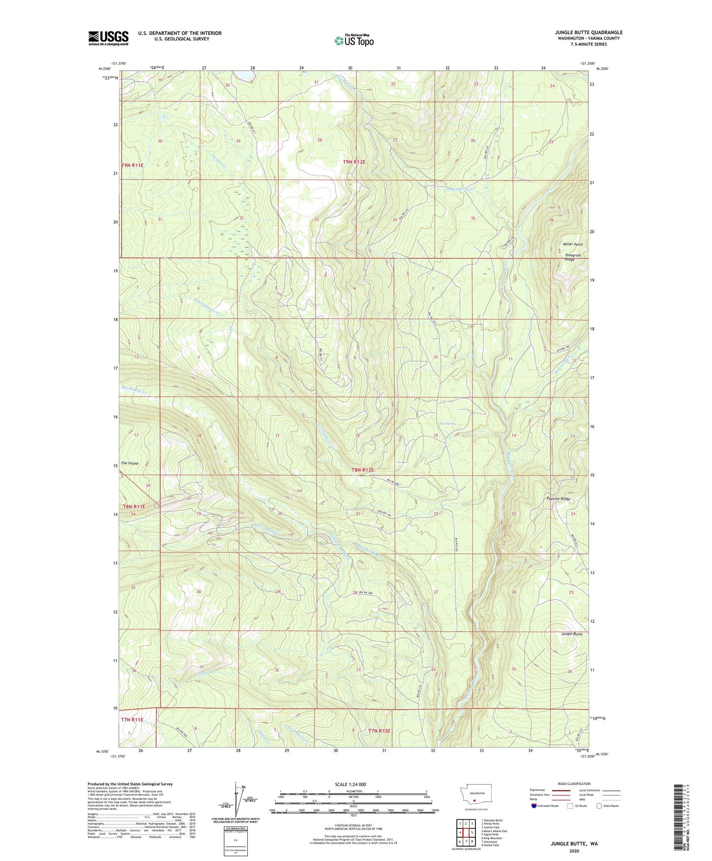
2020 topographic map quadrangle Jungle Butte in the state of Washington. Scale: 1:24000. Based on the newly updated USGS 7.5' US Topo map series, this map is in the following counties: Yakima. The map contains contour data, water features, and other items you are used to seeing on USGS maps, but also has updated roads and other features. This is the next generation of topographic maps. Printed on high-quality waterproof paper with UV fade-resistant inks.
Quads adjacent to this one:
West: Mount Adams East
Northwest: Glaciate Butte
North: Windy Point
Northeast: Castile Falls
East: Signal Peak
Southeast: Outlet Falls
South: Glenwood
Southwest: King Mountain
Contains the following named places: Buck Camp, Bup Spring, Cougar Creek, Cougar Creek Guard Station, Cress Camp, Cunningham Creek, Hellroaring Creek, Hellroaring Ditch, Jungle Butte, Miller Point, Soda Spring Campground, Soda Spring Creek, Surveyors Creek, Swamp Creek