MyTopo
Juniper Beach Washington US Topo Map
Couldn't load pickup availability
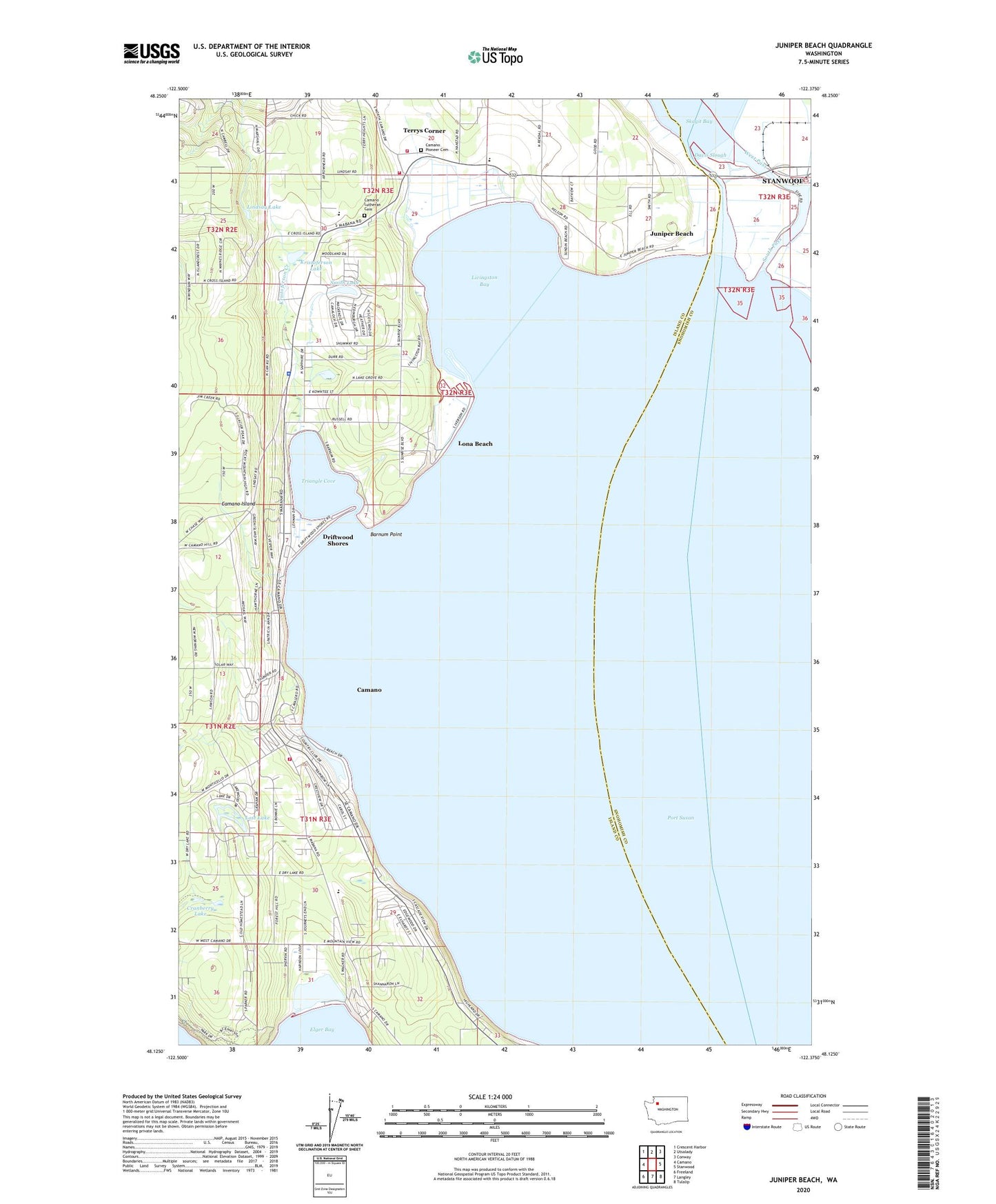
2023 topographic map quadrangle Juniper Beach in the state of Washington. Scale: 1:24000. Based on the newly updated USGS 7.5' US Topo map series, this map is in the following counties: Island, Snohomish. The map contains contour data, water features, and other items you are used to seeing on USGS maps, but also has updated roads and other features. This is the next generation of topographic maps. Printed on high-quality waterproof paper with UV fade-resistant inks.
Quads adjacent to this one:
West: Camano
Northwest: Crescent Harbor
North: Utsalady
Northeast: Conway
East: Stanwood
Southeast: Tulalip
South: Langley
Southwest: Freeland
This map covers the same area as the classic USGS quad with code o48122b4.
Contains the following named places: Barnum Point, Calvary Chapel, Camaloch Golf Course, Camano Census Designated Place, Camano Country Club, Camano Island Division, Camano Island Fire and Rescue Administration, Camano Island State Park, Camano Lutheran Cemetery, Camano Lutheran Child Care Center, Camano Luthern Church, Camano Pioneer Cemetery, Cavelero Beach, Christian Family Center of Camano Island, Cranberry Lake, Davis Slough, Driftwood Shores, Elger Bay Elementary School, Island Baptist Church, Island County Fire District 1 Camano Island Fire and Rescue Station 2 Country Club, Island County Fire Protection District 1 Camano Island Fire and Rescue Station 3 Terrys Corner, Island County Sheriff Camano Island, Juniper Beach, Kristoferson Creek, Kristoferson Lake, Kristofferson Lake Dam, Lindsay Lake, Livingston Bay, Livingston Bay Airport, Lona Beach, Lost Lake, Mountain View Beach, New Utsaladdy, Orchards Nursery, Port Susan, River of Life Community Church, Saint Aidans Episcopal Church, Smith Lake, South Camano Substation, South Pass, Stillaguamish River, Sundins Beach, Sunrise Point, Terrys Corner, Terry's Corner Park and Ride, The Church of Jesus Christ of Latter Day Saints, Triangle Cove, Utsalady Elementary School, West Pass


