MyTopo
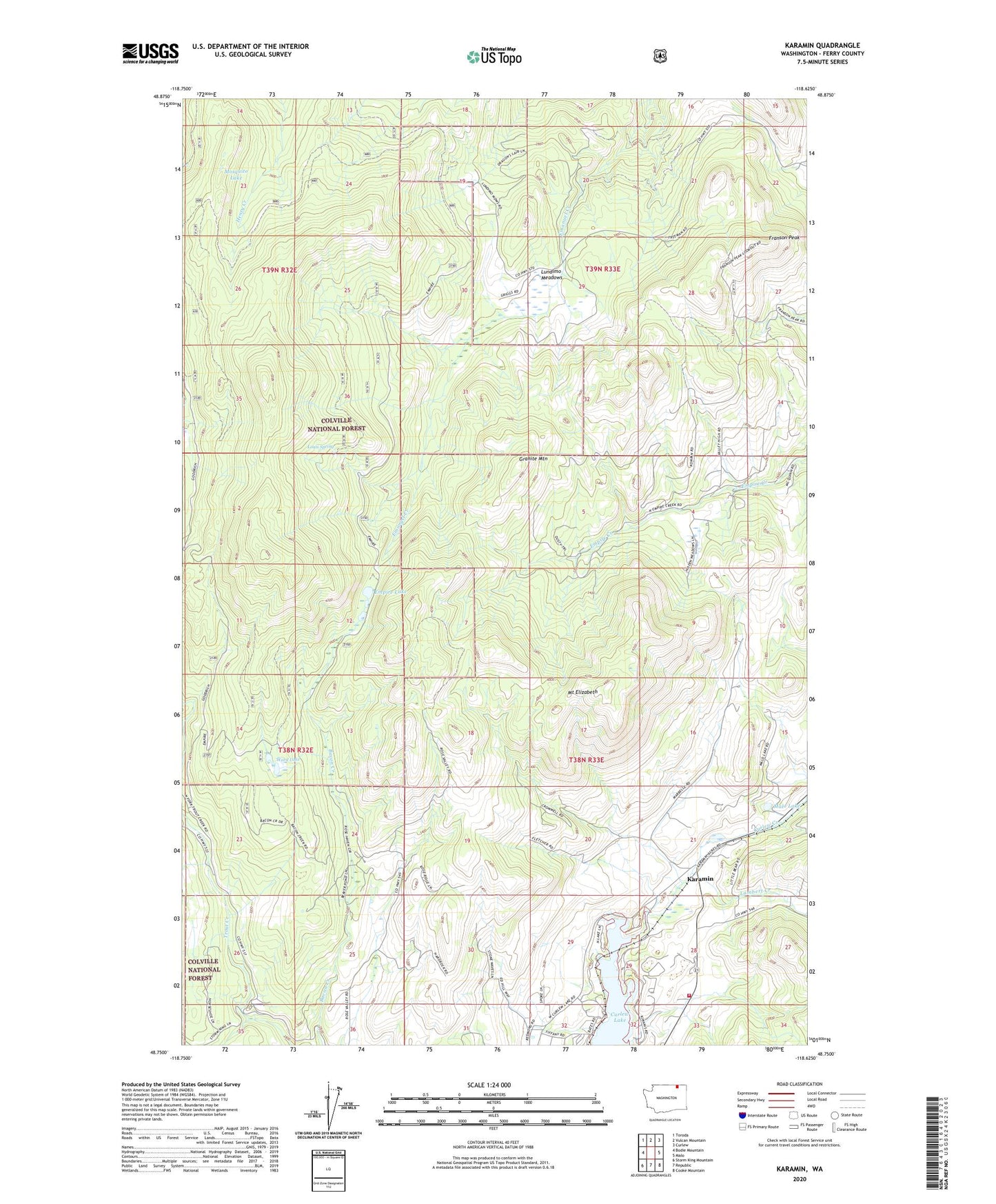
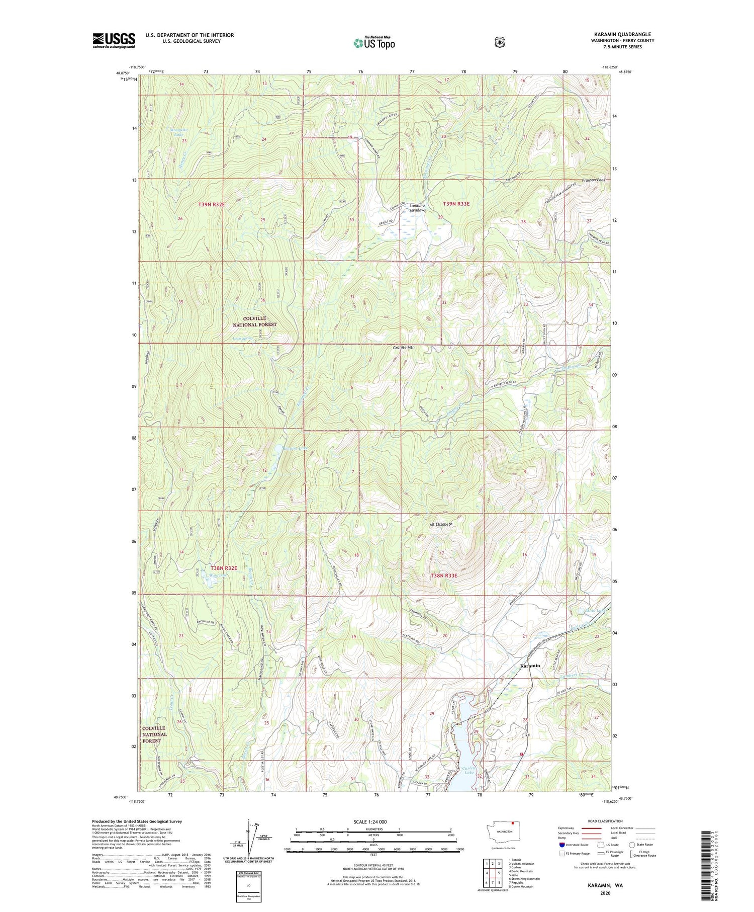
Karamin Washington US Topo Map
Couldn't load pickup availability
2020 topographic map quadrangle Karamin in the state of Washington. Scale: 1:24000. Based on the newly updated USGS 7.5' US Topo map series, this map is in the following counties: Ferry. The map contains contour data, water features, and other items you are used to seeing on USGS maps, but also has updated roads and other features. This is the next generation of topographic maps. Printed on high-quality waterproof paper with UV fade-resistant inks.
Quads adjacent to this one:
West: Bodie Mountain
Northwest: Toroda
North: Vulcan Mountain
Northeast: Curlew
East: Malo
Southeast: Cooke Mountain
South: Republic
Southwest: Storm King Mountain
Contains the following named places: Curlew Lake Dam, Empire Lake, Ferry / Okanogan County Fire District 13 East Lake, Franson Peak, Goodrich Trail, Granite Mountain, Karamin, Lake Butte, Lambert Creek, Louis Spring, Lundimo Meadows, Malo Lake, Mosquito Lake, Mount Elizabeth, Ward Lake, West Fork Trout Creek