MyTopo
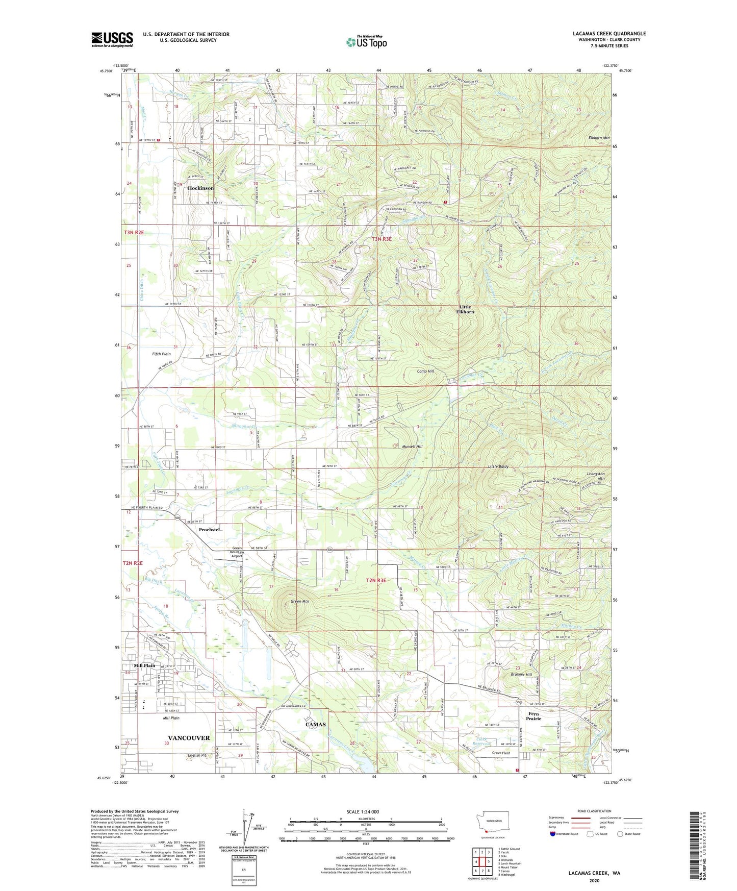
Lacamas Creek Washington US Topo Map
Couldn't load pickup availability
2023 topographic map quadrangle Lacamas Creek in the state of Washington. Scale: 1:24000. Based on the newly updated USGS 7.5' US Topo map series, this map is in the following counties: Clark. The map contains contour data, water features, and other items you are used to seeing on USGS maps, but also has updated roads and other features. This is the next generation of topographic maps. Printed on high-quality waterproof paper with UV fade-resistant inks.
Quads adjacent to this one:
West: Orchards
Northwest: Battle Ground
North: Yacolt
Northeast: Dole
East: Larch Mountain
Southeast: Washougal
South: Camas
Southwest: Mount Tabor
This map covers the same area as the classic USGS quad with code o45122f4.
Contains the following named places: Big Ditch, Brunner Hill, Buck Creek, Camas Meadows Golf Club, Camp Bonneville, Camp Hill, China Ditch, Church of Christ, Church of the Nazarene of Fourth Plain, City of Vancouver Fire Department Station 11, Clark County Fire District 3 Station 31, Clark County Fire District 3 Station 34, Clark Reservoir, Clark Reservoir Dam, David Creek, East County Fire and Rescue Station 91, East Fork Lacamas Creek, East Hill Foursquare Church, English Pit, Fern Prairie, Fern Prairie Census Designated Place, Fifth Plain, Fifth Plain Creek, Green Mountain, Green Mountain Airport, Green Mountain Golf Course, Grove Field, Hockinson, Hockinson Census Designated Place, Hockinson Community Christian School, Hockinson Community Church, Hockinson Elementary School, Hockinson Heights Intermediate School, Hockinson Middle School, Lacamas Bible Church, Lacamas Campground, Laurelwood Baptist Church, Lechtenberg Park, Little Baldy, Little Elkhorn, Little Matney Creek, Livingston, Manor Evangelical Church, Matney Creek, Mill Plain, Mill Plain Census Designated Place, Mountain View, Mud Creek, Munsell Hill, Nelson Dam, North Fork Lacamas Creek, Pacific Middle School, Proebstel, Proebstel Evangelical Free Church, Shanghai Creek, Spring Branch, Summit View Church, ZIP Codes: 98606, 98607, 98682


