MyTopo
Maple Falls Washington US Topo Map
Couldn't load pickup availability
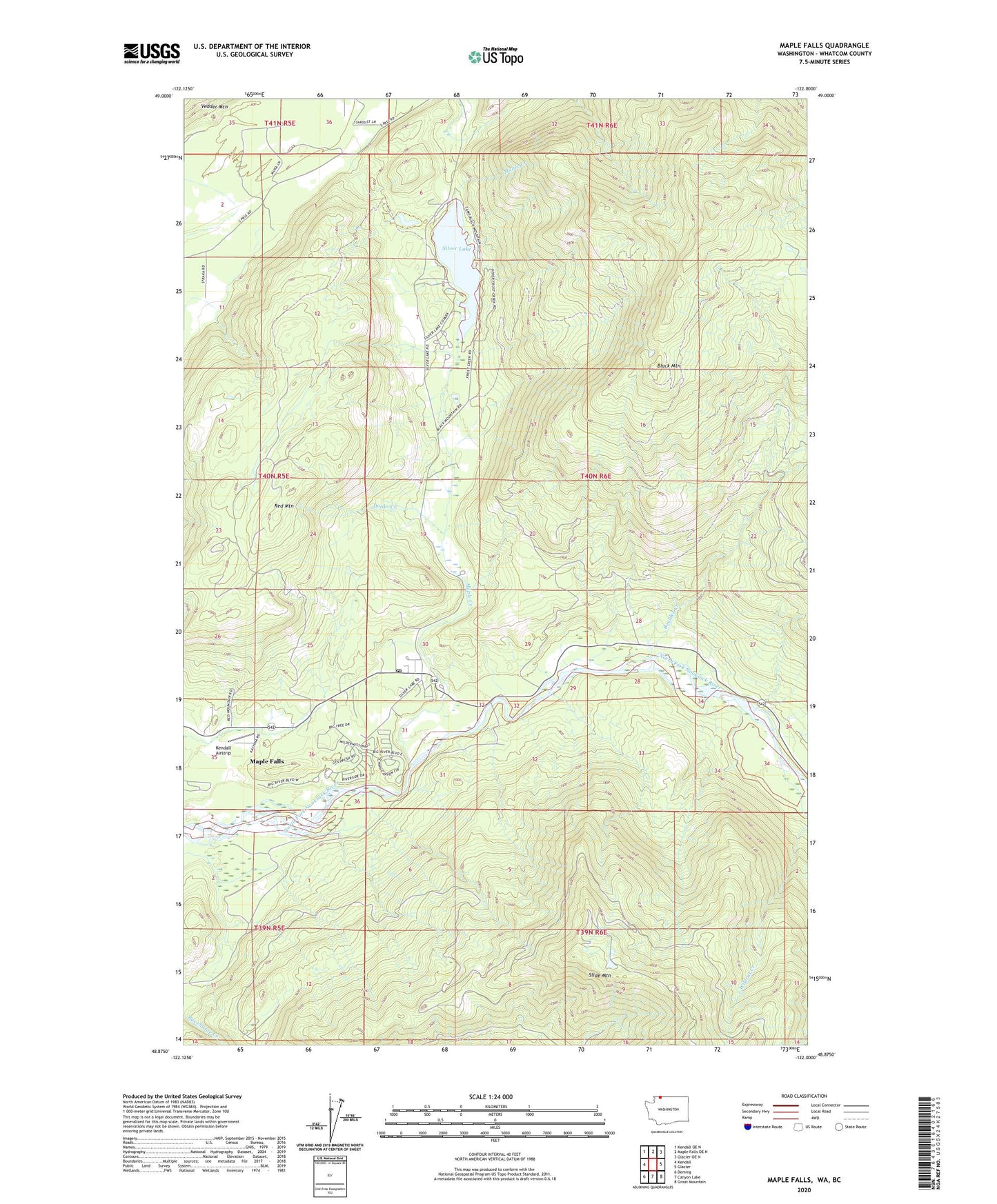
2020 topographic map quadrangle Maple Falls in the state of Washington. Scale: 1:24000. Based on the newly updated USGS 7.5' US Topo map series, this map is in the following counties: Whatcom. The map contains contour data, water features, and other items you are used to seeing on USGS maps, but also has updated roads and other features. This is the next generation of topographic maps. Printed on high-quality waterproof paper with UV fade-resistant inks.
Quads adjacent to this one:
West: Kendall
Northwest: Kendall OE N
North: Maple Falls OE N
Northeast: Glacier OE N
East: Glacier
Southeast: Groat Mountain
South: Canyon Lake
Southwest: Deming
Contains the following named places: Black Mountain, Black Mountain Boy Scout Camp, Boulder Creek, Clauson Lime Quarry, Doaks Creek, Kendall Airstrip, Kendall Quarry, Maple Creek, Maple Falls, Maple Falls Census Designated Place, Maple Falls Elementary School, Maple Falls Library, Maple Falls Post Office, Red Mountain, Silver Lake, Silver Lake Park, Silver Lake Park Boat Launch, Silver Lake Park Campground, Wildcat Creek, ZIP Code: 98266