MyTopo
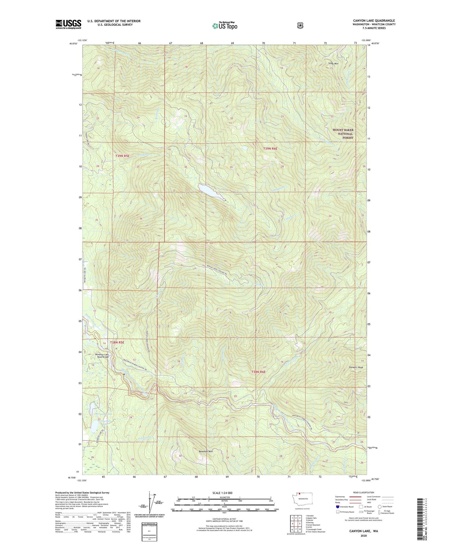
Canyon Lake Washington US Topo Map
Couldn't load pickup availability
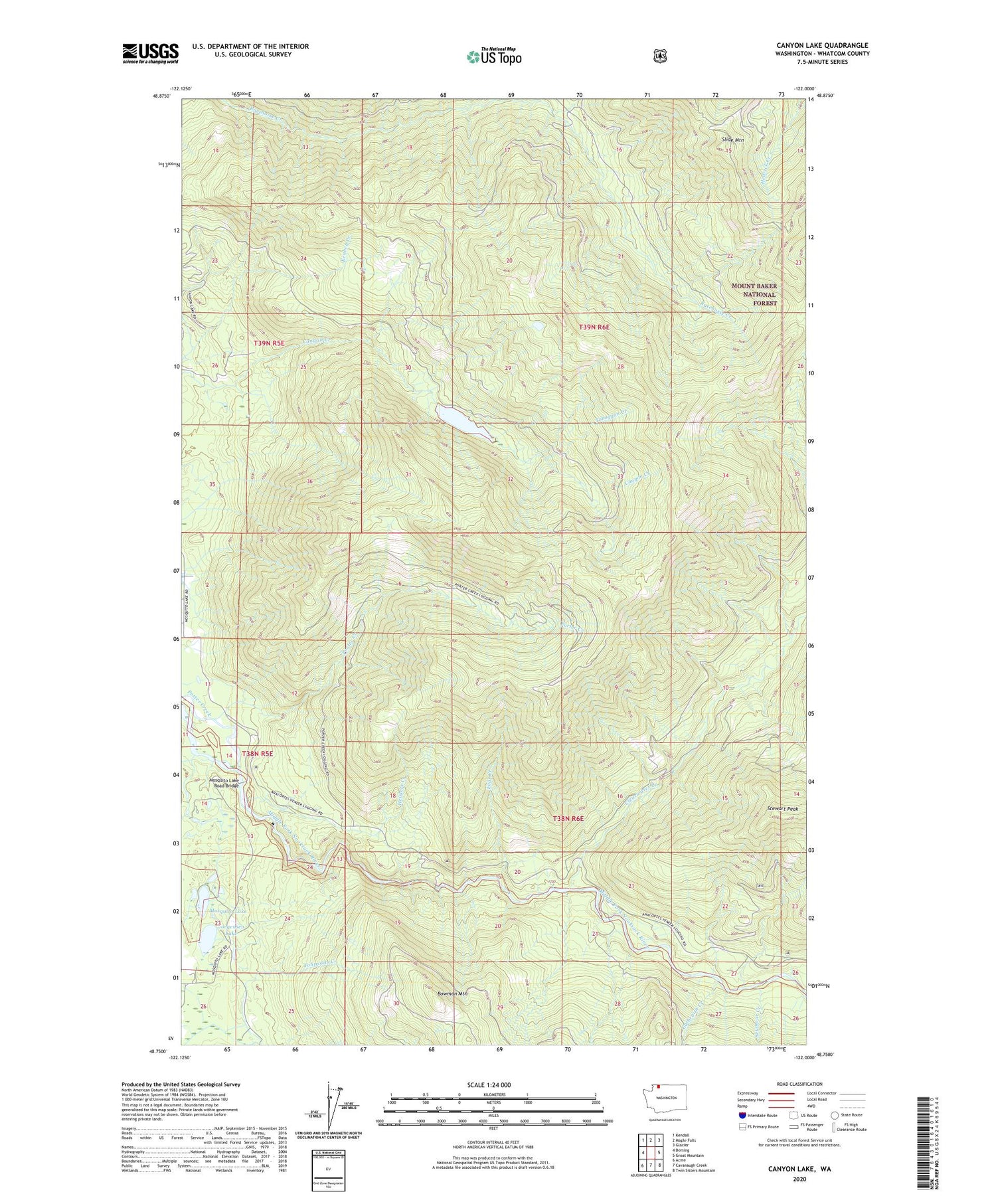
Also explore the Canyon Lake Forest Service Topo of this same quad for updated USFS data
2023 topographic map quadrangle Canyon Lake in the state of Washington. Scale: 1:24000. Based on the newly updated USGS 7.5' US Topo map series, this map is in the following counties: Whatcom. The map contains contour data, water features, and other items you are used to seeing on USGS maps, but also has updated roads and other features. This is the next generation of topographic maps. Printed on high-quality waterproof paper with UV fade-resistant inks.
Quads adjacent to this one:
West: Deming
Northwest: Kendall
North: Maple Falls
Northeast: Glacier
East: Groat Mountain
Southeast: Twin Sisters Mountain
South: Cavanaugh Creek
Southwest: Acme
This map covers the same area as the classic USGS quad with code o48122g1.
Contains the following named places: Canyon Lake, Clearwater Creek, Falls Creek, Galbraith Creek, Heislers Creek, Johnsons Creek, Jorgensen Lake, Mosquito Lake, Mosquito Lake Road Bridge, Nooksack Lookout, Seymour Creek, Slide Mountain, Stewart Peak, Toboggan Creek