MyTopo
Mathews Corner Washington US Topo Map
Couldn't load pickup availability
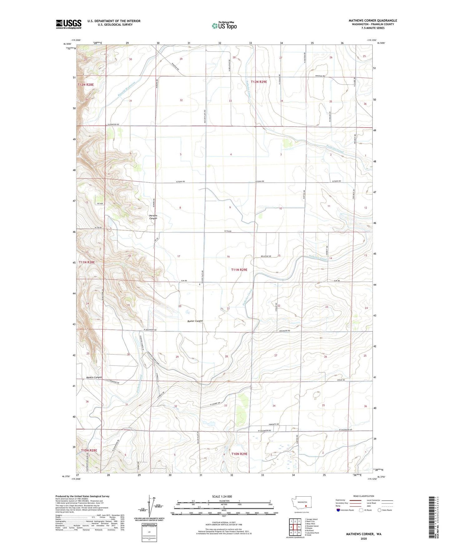
2023 topographic map quadrangle Mathews Corner in the state of Washington. Scale: 1:24000. Based on the newly updated USGS 7.5' US Topo map series, this map is in the following counties: Franklin. The map contains contour data, water features, and other items you are used to seeing on USGS maps, but also has updated roads and other features. This is the next generation of topographic maps. Printed on high-quality waterproof paper with UV fade-resistant inks.
Quads adjacent to this one:
West: Wooded Island
Northwest: Savage Island
North: Basin City
Northeast: Mesa West
East: Eltopia
Southeast: Glade
South: Columbia Point
Southwest: Richland
This map covers the same area as the classic USGS quad with code o46119d2.
Contains the following named places: Baxter Substation, Edwin Markham Elementary School, Eltopia Branch Canal, Mathews Corner, Pasco North Division, Ringold Pumping Plant, Ringold Wasteway