MyTopo
Meadow Mountain Washington US Topo Map
Couldn't load pickup availability
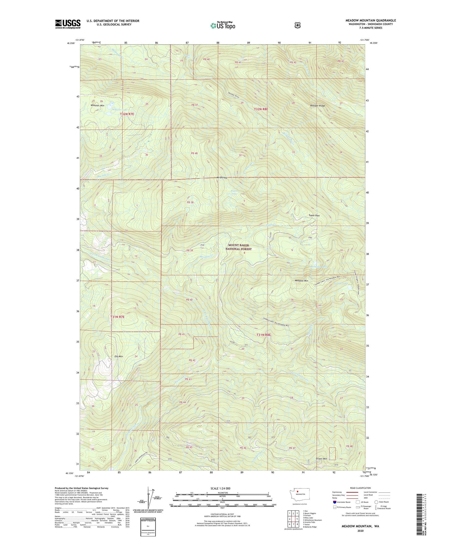
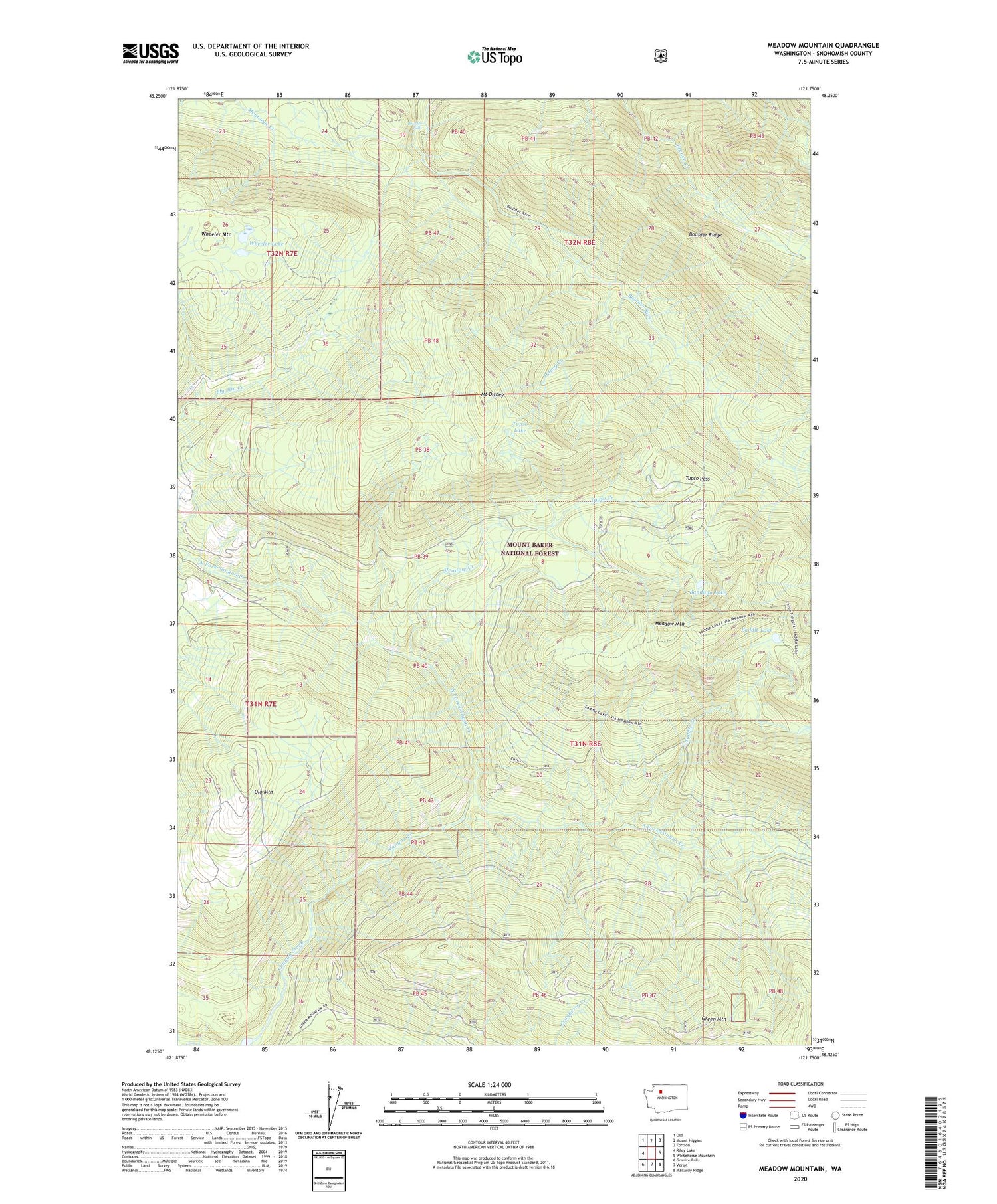
2020 topographic map quadrangle Meadow Mountain in the state of Washington. Scale: 1:24000. Based on the newly updated USGS 7.5' US Topo map series, this map is in the following counties: Snohomish. The map contains contour data, water features, and other items you are used to seeing on USGS maps, but also has updated roads and other features. This is the next generation of topographic maps. Printed on high-quality waterproof paper with UV fade-resistant inks.
Quads adjacent to this one:
West: Riley Lake
Northwest: Oso
North: Mount Higgins
Northeast: Fortson
East: Whitehorse Mountain
Southeast: Mallardy Ridge
South: Verlot
Southwest: Granite Falls
Contains the following named places: Bandana Lake, Boulder Falls, Boulder Ford Camp, Ditney Creek, Meadow Creek, Meadow Mountain, Mount Ditney, North Fork Canyon Creek, Olo Mountain, Saddle Creek, Saddle Lake, South Fork Canyon Creek, Tupso Creek, Tupso Lake, Tupso Pass, Wheeler Lake