MyTopo
Mount Christie Washington US Topo Map
Couldn't load pickup availability
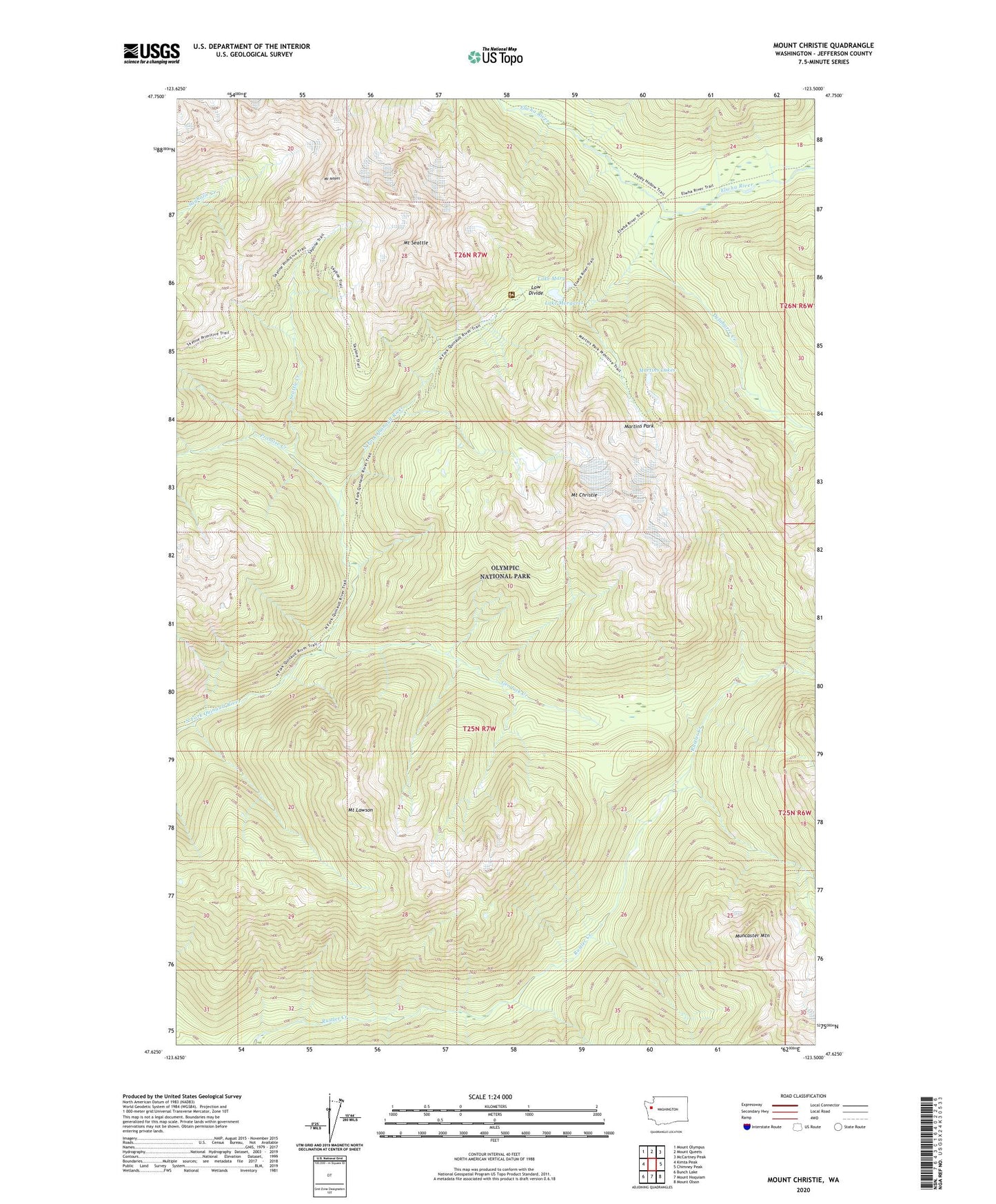
2023 topographic map quadrangle Mount Christie in the state of Washington. Scale: 1:24000. Based on the newly updated USGS 7.5' US Topo map series, this map is in the following counties: Jefferson. The map contains contour data, water features, and other items you are used to seeing on USGS maps, but also has updated roads and other features. This is the next generation of topographic maps. Printed on high-quality waterproof paper with UV fade-resistant inks.
Quads adjacent to this one:
West: Kimta Peak
Northwest: Mount Olympus
North: Mount Queets
Northeast: McCartney Peak
East: Chimney Peak
Southeast: Mount Olson
South: Mount Hoquiam
Southwest: Bunch Lake
This map covers the same area as the classic USGS quad with code o47123f5.
Contains the following named places: Chicago Camp, Delabarre Creek, Geoduck Creek, Lake Margaret, Lake Mary, Low Divide, Low Divide Ranger Station, Martins Lakes, Martins Park, Mount Christie, Mount Lawson, Mount Noyes, Mount Seattle, Muncaster Mountain, Promise Creek, Rhodes Creek, Seattle Creek, Sixteenmile Shelter, Twelve Mile Shelter