MyTopo
Mount Kit Carson Washington US Topo Map
Couldn't load pickup availability
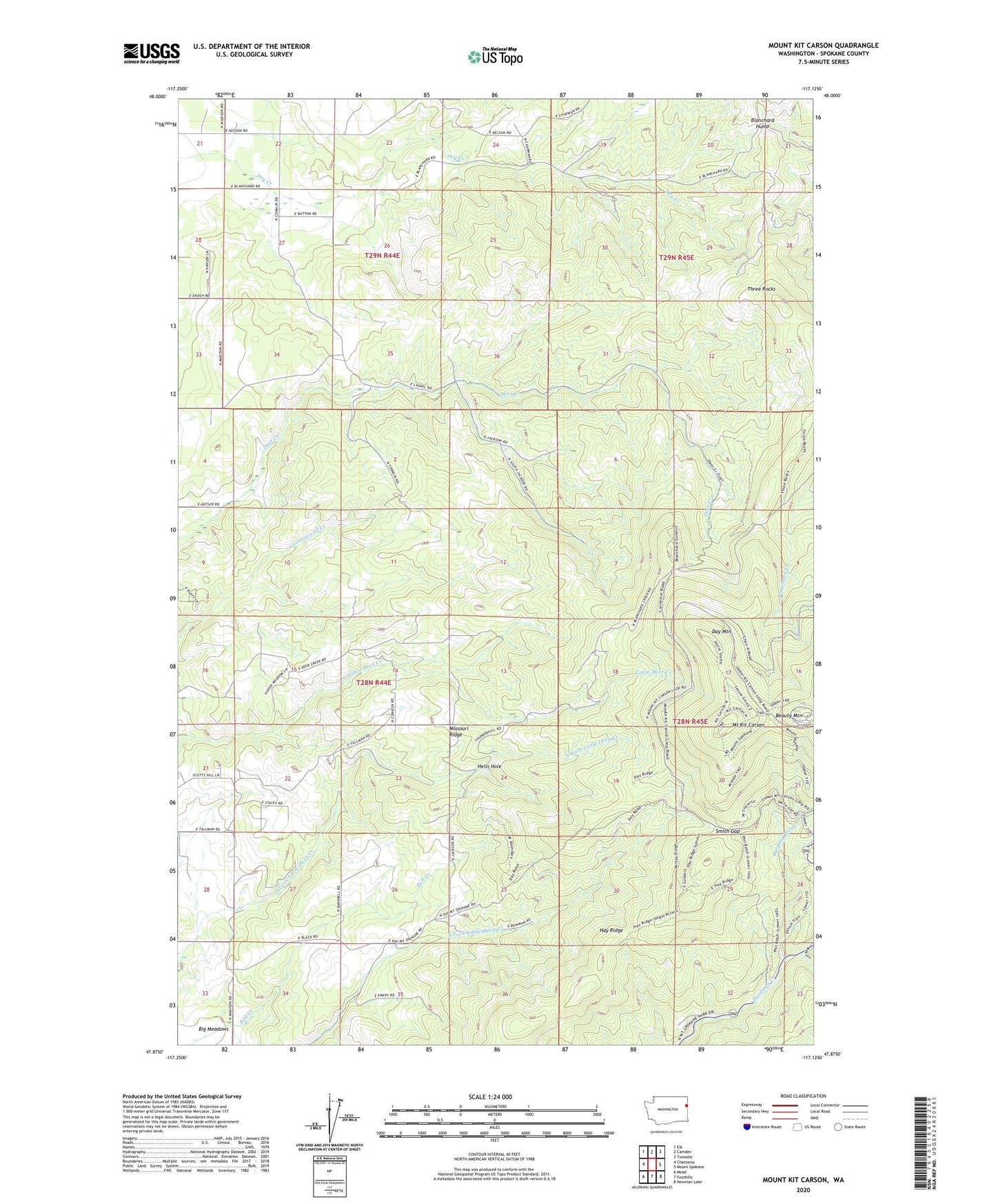
2020 topographic map quadrangle Mount Kit Carson in the state of Washington. Scale: 1:24000. Based on the newly updated USGS 7.5' US Topo map series, this map is in the following counties: Spokane. The map contains contour data, water features, and other items you are used to seeing on USGS maps, but also has updated roads and other features. This is the next generation of topographic maps. Printed on high-quality waterproof paper with UV fade-resistant inks.
Quads adjacent to this one:
West: Chattaroy
Northwest: Elk
North: Camden
Northeast: Tweedie
East: Mount Spokane
Southeast: Newman Lake
South: Foothills
Southwest: Mead
Contains the following named places: Beauty Mountain, Blanchard Hump, Burping Brook, Day Mountain, Hay Ridge, Hells Hole, Missouri Ridge, Mount Kit Carson, Mount Saint Charles Ranch, Mount Spokane West Airpark, Smith Gap, Three Rocks