MyTopo
Mount Lyall Washington US Topo Map
Couldn't load pickup availability
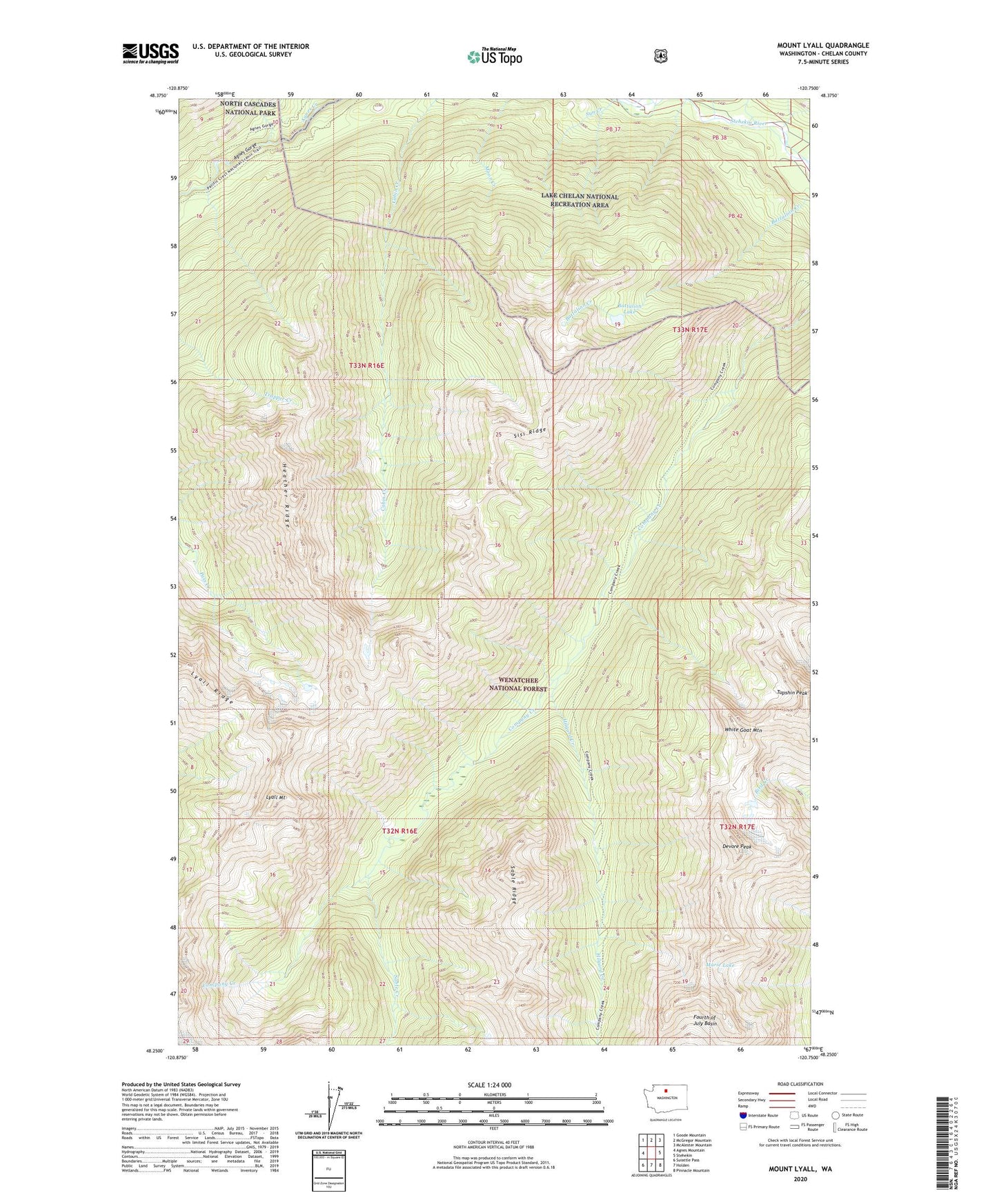
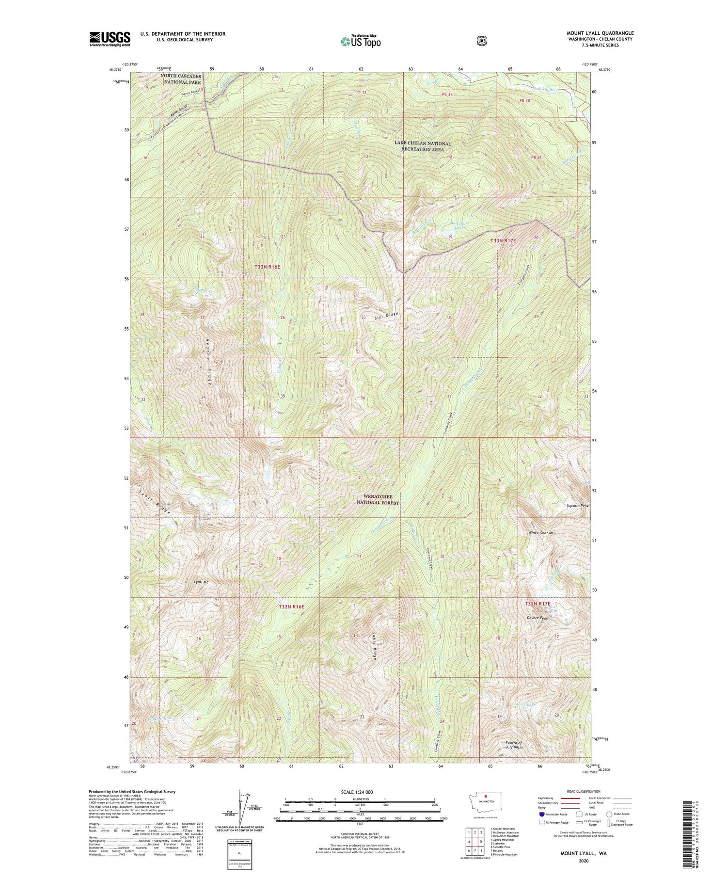
2020 topographic map quadrangle Mount Lyall in the state of Washington. Scale: 1:24000. Based on the newly updated USGS 7.5' US Topo map series, this map is in the following counties: Chelan. The map contains contour data, water features, and other items you are used to seeing on USGS maps, but also has updated roads and other features. This is the next generation of topographic maps. Printed on high-quality waterproof paper with UV fade-resistant inks.
Quads adjacent to this one:
West: Agnes Mountain
Northwest: Goode Mountain
North: McGregor Mountain
Northeast: McAlester Mountain
East: Stehekin
Southeast: Pinnacle Mountain
South: Holden
Southwest: Suiattle Pass
Contains the following named places: Battalion Lake, Chelan Ranger District, Devore Peak, Heather Ridge, Hilgard Creek, Lyall Mount, Marie Lake, Sable Creek, Sable Ridge, Sisi Ridge, Sun Creek, Tupshin Peak, White Goat Mountain