MyTopo
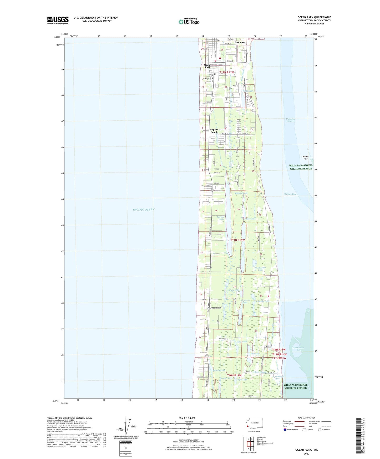
Ocean Park Washington US Topo Map
Couldn't load pickup availability
2023 topographic map quadrangle Ocean Park in the state of Washington. Scale: 1:24000. Based on the newly updated USGS 7.5' US Topo map series, this map is in the following counties: Pacific. The map contains contour data, water features, and other items you are used to seeing on USGS maps, but also has updated roads and other features. This is the next generation of topographic maps. Printed on high-quality waterproof paper with UV fade-resistant inks.
Quads adjacent to this one:
North: Oysterville
Northeast: Nemah
East: Long Island
Southeast: Chinook
South: Cape Disappointment
This map covers the same area as the classic USGS quad with code o46124d1.
Contains the following named places: Adamson Ranch, Albers Slough, Anchor Baptist Mission, Andersens Recreational Vehicle Park, Breaker Lake, Briscoe Lake, Clam Lake, Cranberry Lake, Cranberry Marsh, Deer Lake, Family Worship Center, Freshwater Lake, Gile Lake, Giles Slough, Island Lake, Jensen Point, Kingdom Hall of Jehovahs Witnesses, Klipsan Beach, Klipsan Meadows Park, Litschke Lake, Long Beach-North Beach Peninsula Division, Loomis, Loomis Lake, Loomis Lake State Park, Loomis Ranch, Lost Lake, Ma and Pas Mobile Home Park, Mallard Lake, Moby Dick Academy, Nahcotta, New Hope Baptist Church, North Beach Peninsula, Ocean Bay Mobile Home Park, Ocean Park, Ocean Park Census Designated Place, Ocean Park Community Church, Ocean Park Elementary School, Ocean Park Lutheran Church, Ocean Park Post Office, Ocean Park Timberland Library, Ocean Park United Methodist Church, Oceanside, Pacific Beach, Pacific County Fire District 1, Pacific County Fire District 1 Station 1, Pacific County Fire District 1 Station 1 Annex, Pacific Park, Pacific West Mobile Home Park, Pauls Lake, Pauls Slough, Pegs Recreational Vehicle Park, Peninsula Assembly of God Church, Peninsula Baptist Church, Raine Ranch, Rasmason Ranch, Riiho Park, Tape Lake, Wreckage Park Zoo, ZIP Code: 98631


