MyTopo
Oysterville Washington US Topo Map
Couldn't load pickup availability
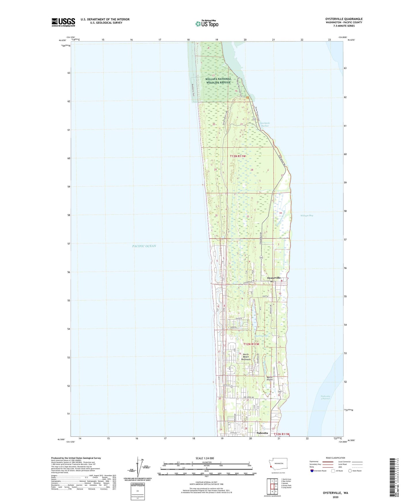
2023 topographic map quadrangle Oysterville in the state of Washington. Scale: 1:24000. Based on the newly updated USGS 7.5' US Topo map series, this map is in the following counties: Pacific. The map contains contour data, water features, and other items you are used to seeing on USGS maps, but also has updated roads and other features. This is the next generation of topographic maps. Printed on high-quality waterproof paper with UV fade-resistant inks.
Quads adjacent to this one:
North: North Cove
Northeast: Bay Center
East: Nemah
Southeast: Long Island
South: Ocean Park
This map covers the same area as the classic USGS quad with code o46124e1.
Contains the following named places: Elliot Trail, Espy Slough, Goulters Slough, Hines, Leadbetter Point State Park, Martin Airport, Morehead Boys Camp, Oysterville, Oysterville Post Office, Pacific County Fire District 1, Pacific Pines State Park, Sherwood Forest, Skating Lake, Stackpole Harbor, Stackpole Slough, Willapa Camp, ZIP Codes: 98640, 98641