MyTopo
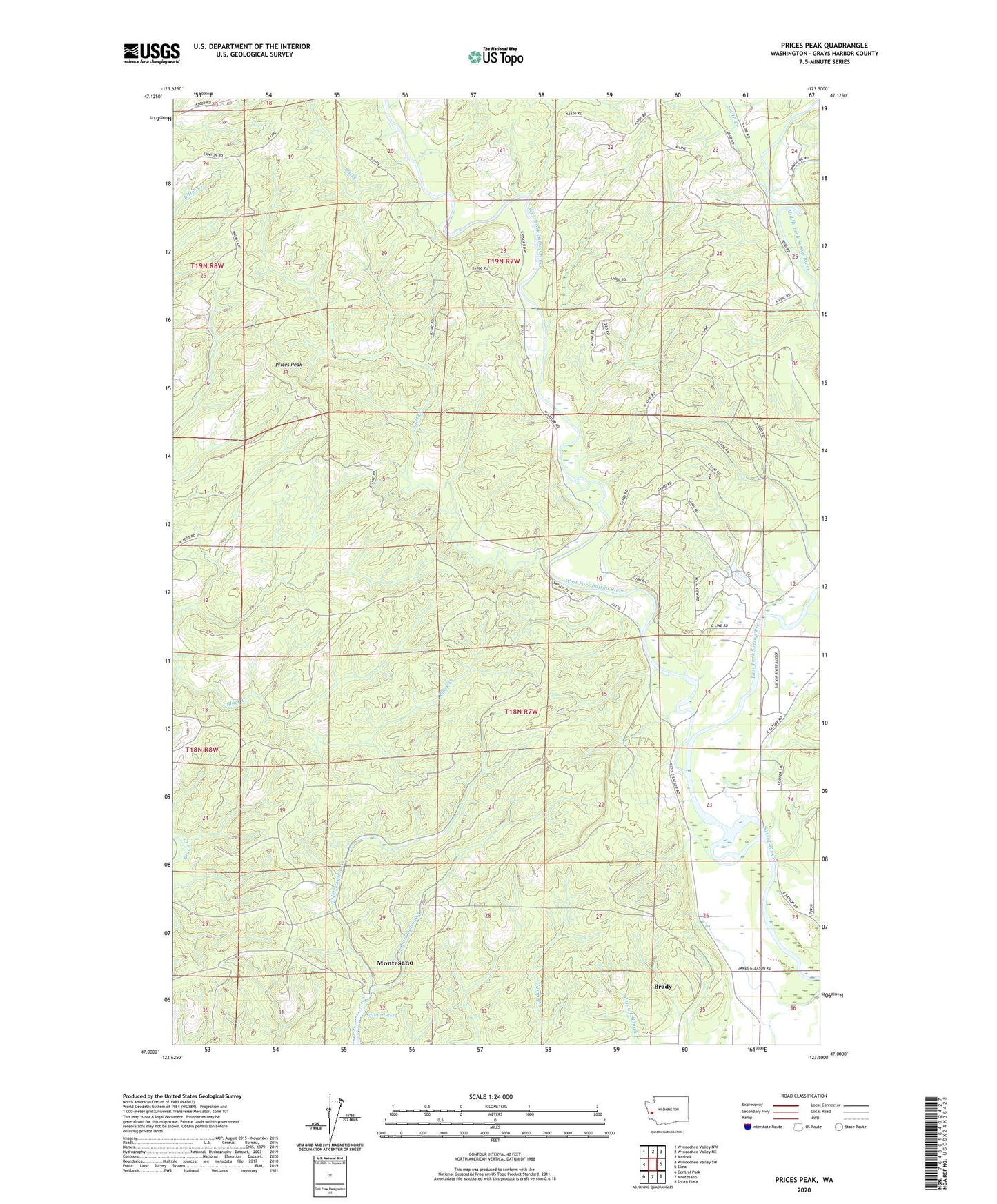
Prices Peak Washington US Topo Map
Couldn't load pickup availability
2020 topographic map quadrangle Prices Peak in the state of Washington. Scale: 1:24000. Based on the newly updated USGS 7.5' US Topo map series, this map is in the following counties: Grays Harbor. The map contains contour data, water features, and other items you are used to seeing on USGS maps, but also has updated roads and other features. This is the next generation of topographic maps. Printed on high-quality waterproof paper with UV fade-resistant inks.
Quads adjacent to this one:
West: Wynoochee Valley SW
Northwest: Wynoochee Valley NW
North: Wynoochee Valley NE
Northeast: Matlock
East: Elma
Southeast: South Elma
South: Montesano
Southwest: Central Park
Contains the following named places: Brady Census Designated Place, City of Montesano, East Fork Satsop River, East Fork Sylvia Creek, Lake Sylvia State Park, Prices Peak, Smith Creek, Still Creek, Studer Quarry, Swinging Bridge Park, West Fork Satsop River, West Fork Sylvia Creek