MyTopo
Prosser SE Washington US Topo Map
Couldn't load pickup availability
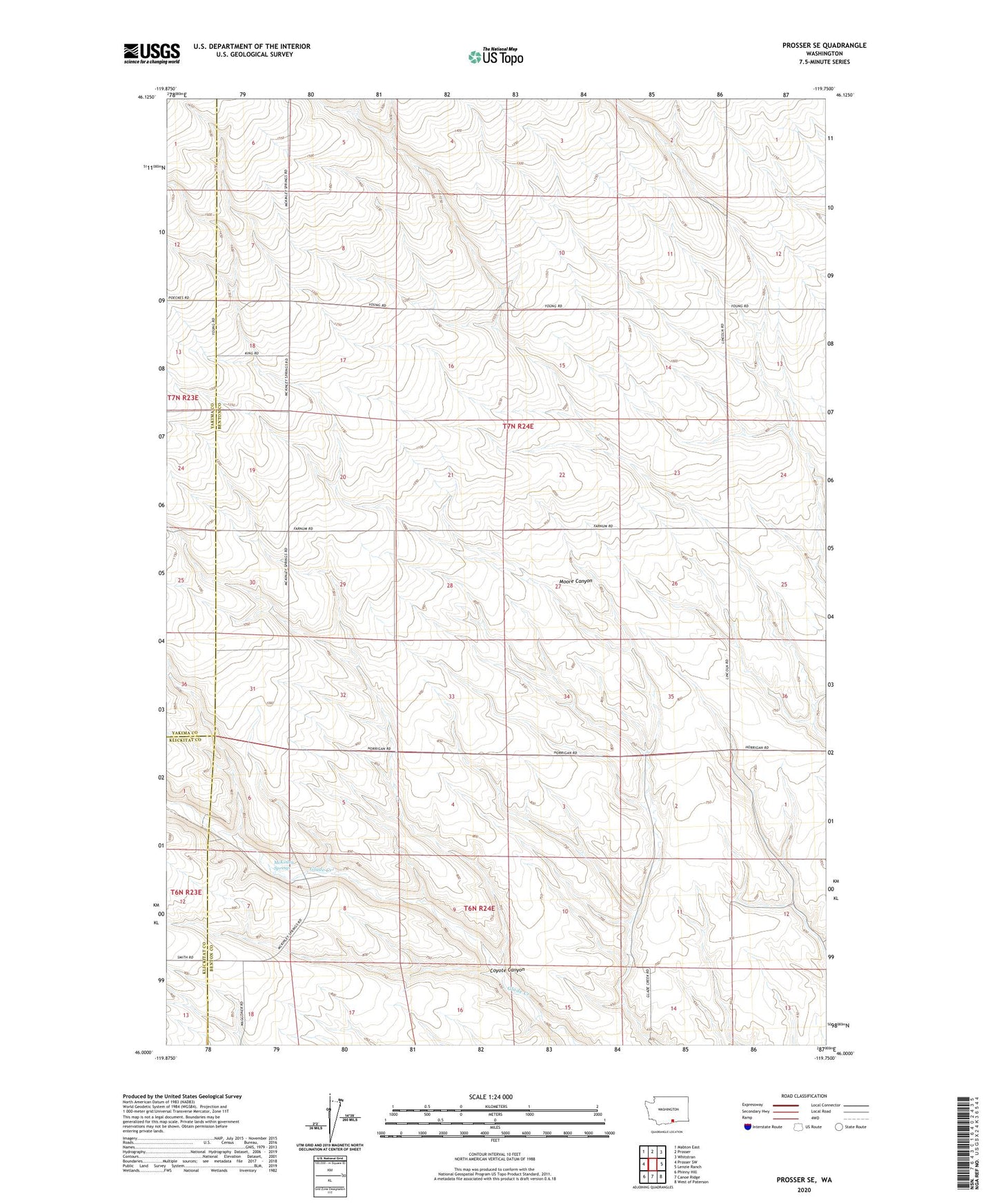
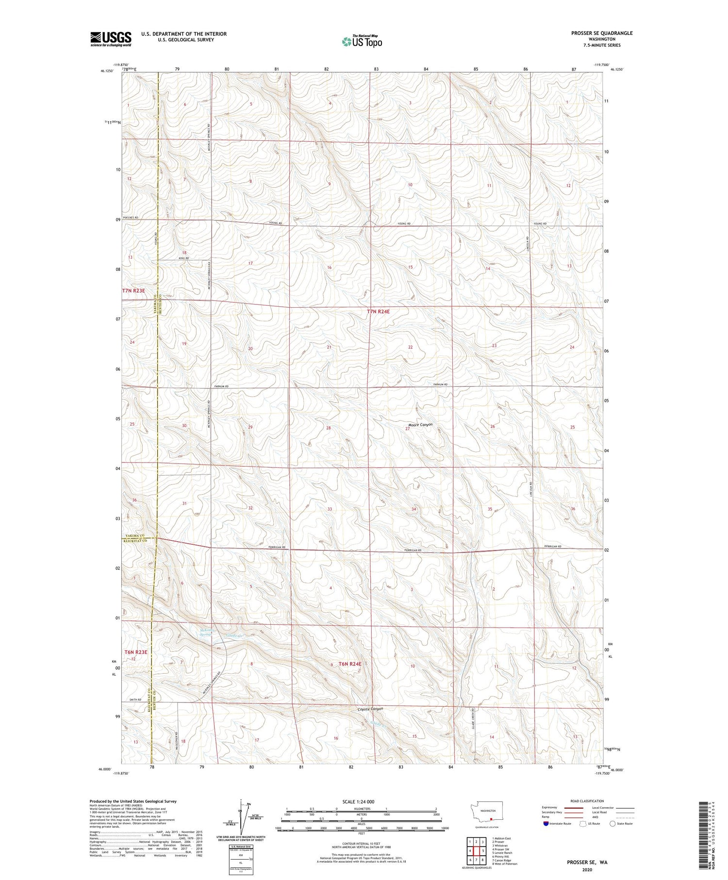
2020 topographic map quadrangle Prosser SE in the state of Washington. Scale: 1:24000. Based on the newly updated USGS 7.5' US Topo map series, this map is in the following counties: Benton, Yakima, Klickitat. The map contains contour data, water features, and other items you are used to seeing on USGS maps, but also has updated roads and other features. This is the next generation of topographic maps. Printed on high-quality waterproof paper with UV fade-resistant inks.
Quads adjacent to this one:
West: Prosser SW
Northwest: Mabton East
North: Prosser
Northeast: Whitstran
East: Lenzie Ranch
Southeast: West of Paterson
South: Canoe Ridge
Southwest: Phinny Hill
Contains the following named places: Coyote Canyon, McKinley Springs, Youngs Ranch