MyTopo
Satus Pass Washington US Topo Map
Couldn't load pickup availability
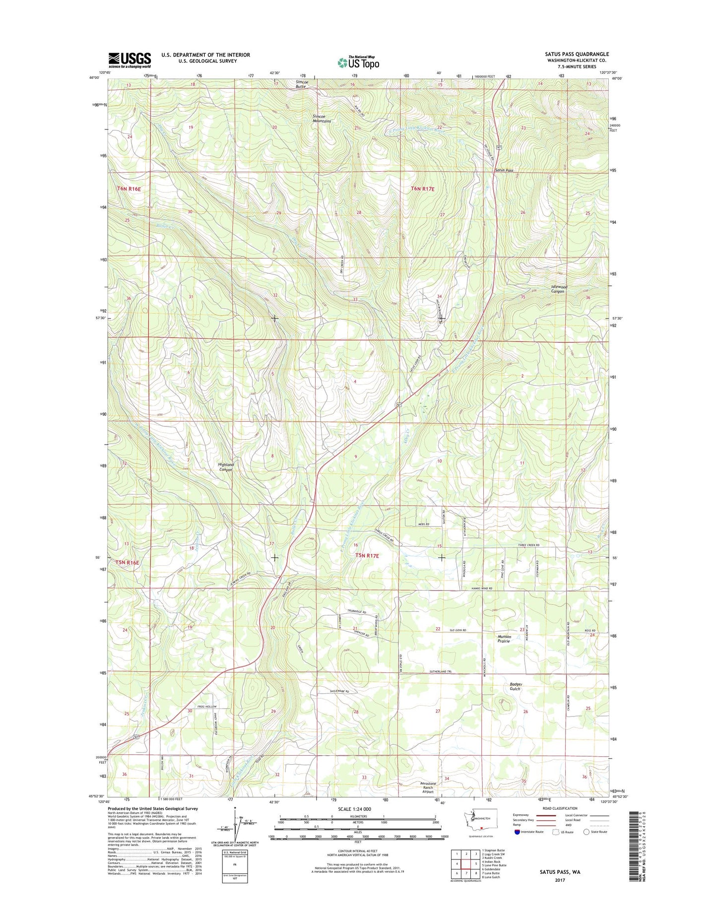
2023 topographic map quadrangle Satus Pass in the state of Washington. Scale: 1:24000. Based on the newly updated USGS 7.5' US Topo map series, this map is in the following counties: Klickitat. The map contains contour data, water features, and other items you are used to seeing on USGS maps, but also has updated roads and other features. This is the next generation of topographic maps. Printed on high-quality waterproof paper with UV fade-resistant inks.
Quads adjacent to this one:
West: Indian Rock
Northwest: Stagman Butte
North: Logy Creek SW
Northeast: Kusshi Creek
East: Lone Pine Butte
Southeast: Luna Gulch
South: Luna Butte
Southwest: Goldendale
This map covers the same area as the classic USGS quad with code o45120h6.
Contains the following named places: Aerostone Airfield, Brooks Memorial State Park, Brooks Memorial State Park Ski Area, Butler Creek, Dry Creek, East Prong Little Klickitat River, Highland Canyon, Idlewood Canyon, Munson Prairie, Satus Pass, Simcoe Mountains, West Prong Little Klickitat River