MyTopo
Slip Point Washington US Topo Map
Regular price
$16.95
Regular price
Sale price
$16.95
Unit price
per
Couldn't load pickup availability
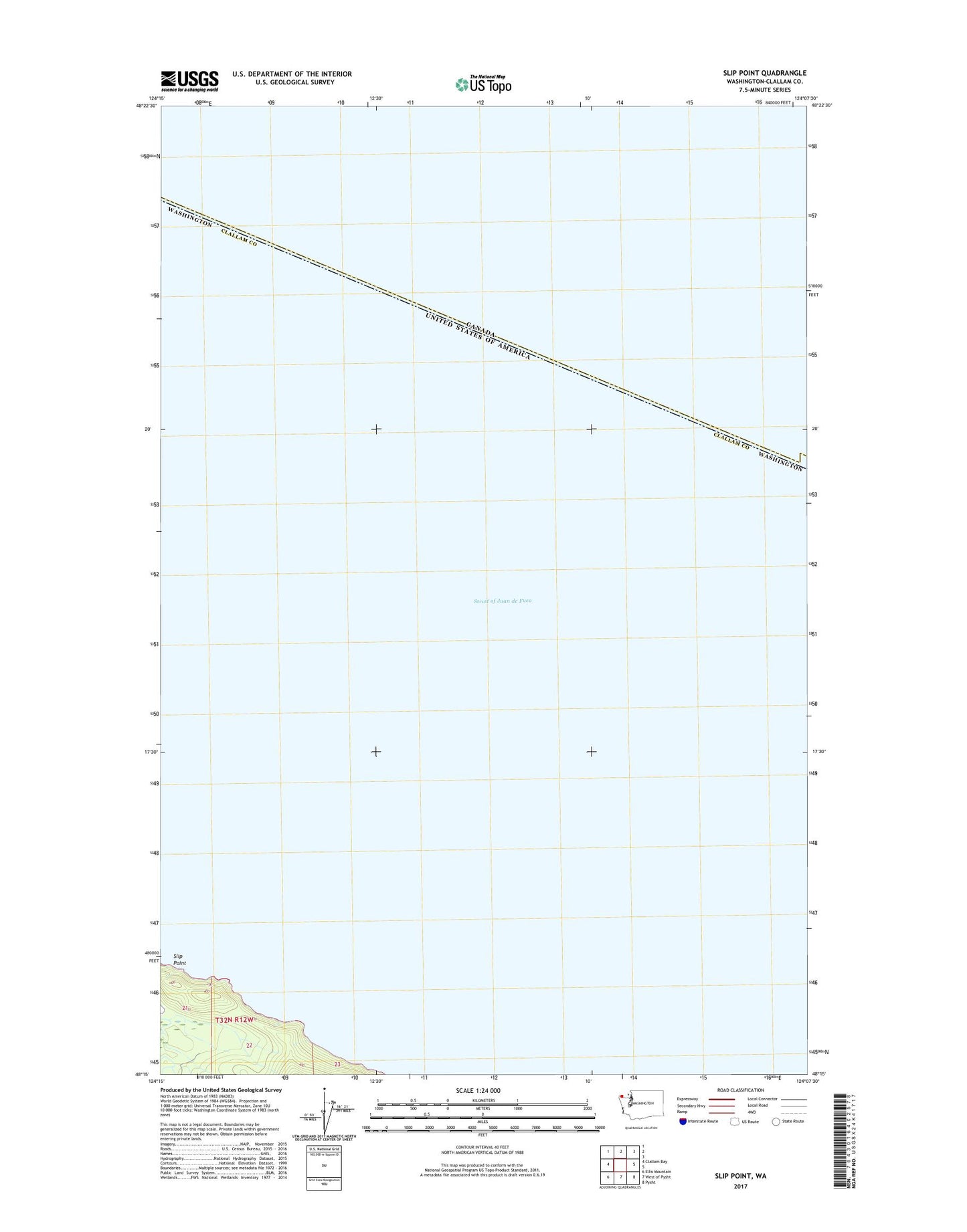
2023 topographic map quadrangle Slip Point in the state of Washington. Scale: 1:24000. Based on the newly updated USGS 7.5' US Topo map series, this map is in the following counties: Clallam. The map contains contour data, water features, and other items you are used to seeing on USGS maps, but also has updated roads and other features. This is the next generation of topographic maps. Printed on high-quality waterproof paper with UV fade-resistant inks.
Quads adjacent to this one:
West: Clallam Bay
Southeast: Pysht
South: West of Pysht
Southwest: Ellis Mountain
This map covers the same area as the classic USGS quad with code o48124c2.
Contains the following named places: Clallam Bay Spit, Pearson Creek