MyTopo
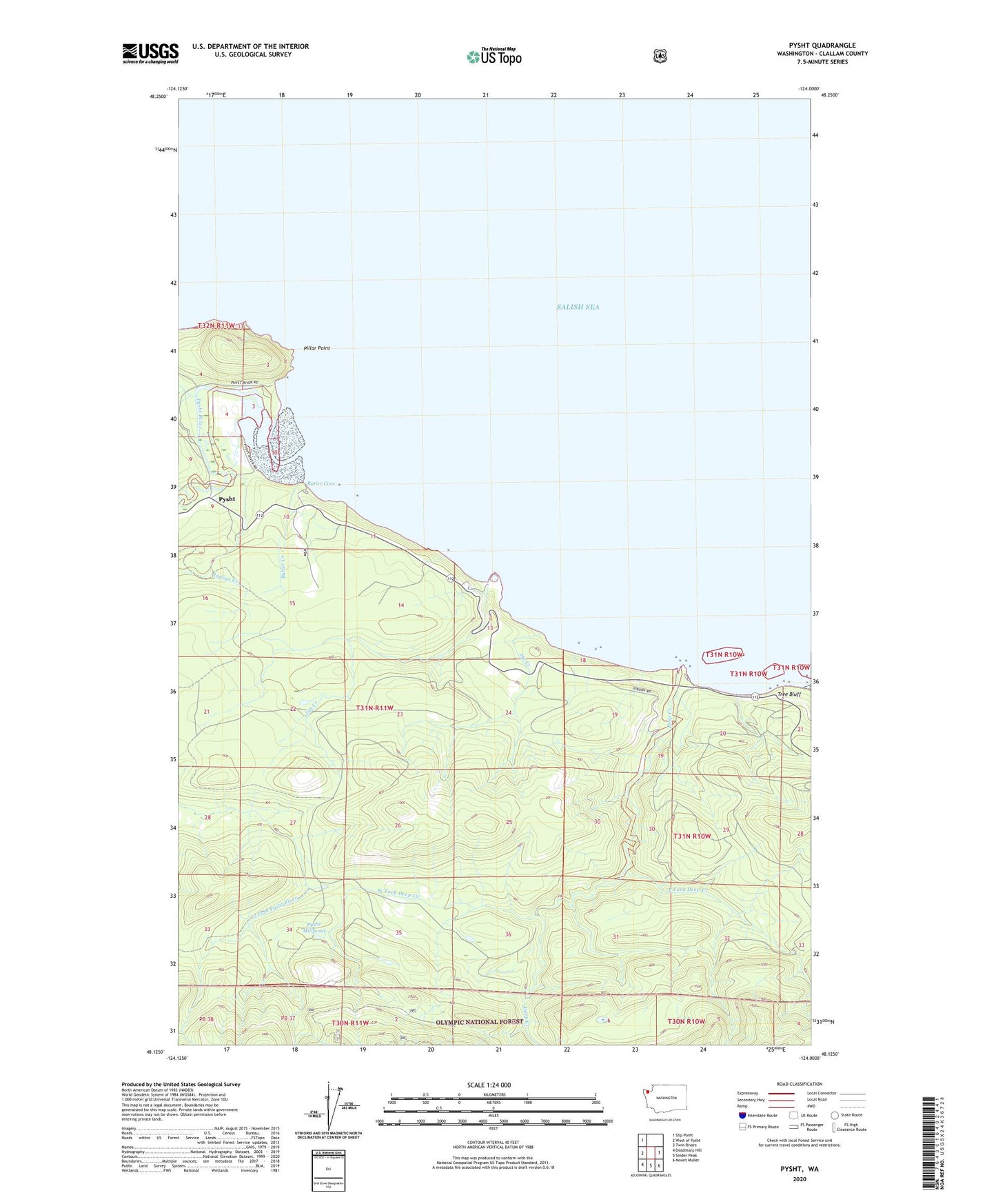
Pysht Washington US Topo Map
Couldn't load pickup availability
Also explore the Pysht Forest Service Topo of this same quad for updated USFS data
2023 topographic map quadrangle Pysht in the state of Washington. Scale: 1:24000. Based on the newly updated USGS 7.5' US Topo map series, this map is in the following counties: Clallam. The map contains contour data, water features, and other items you are used to seeing on USGS maps, but also has updated roads and other features. This is the next generation of topographic maps. Printed on high-quality waterproof paper with UV fade-resistant inks.
Quads adjacent to this one:
West: West of Pysht
Northwest: Slip Point
East: Twin Rivers
Southeast: Mount Muller
South: Snider Peak
Southwest: Deadmans Hill
This map covers the same area as the classic USGS quad with code o48124b1.
Contains the following named places: Butler Cove, Butler Creek, Deep Creek, East Fork Deep Creek, Gibson Farm, Indian Creek, Jim Creek, Joe Creek, Pillar Point, Pillar Point Recreation Area, Pysht, Pysht Millpond, Pysht River, Reed Creek, Tree Bluff, West Fork Deep Creek