MyTopo
Valley Grove Washington US Topo Map
Couldn't load pickup availability
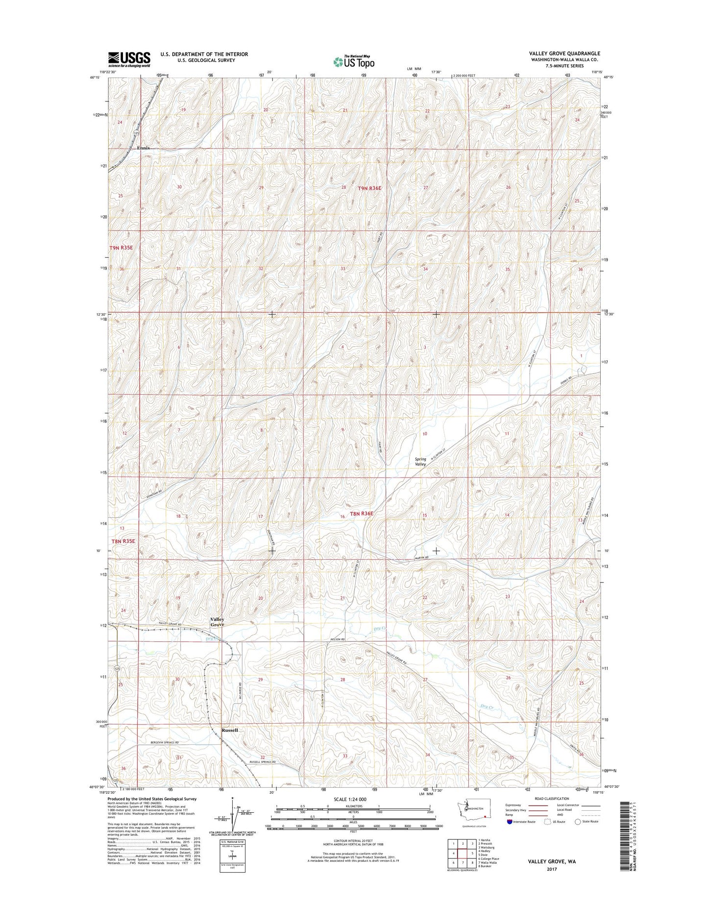
2023 topographic map quadrangle Valley Grove in the state of Washington. Scale: 1:24000. Based on the newly updated USGS 7.5' US Topo map series, this map is in the following counties: Walla Walla. The map contains contour data, water features, and other items you are used to seeing on USGS maps, but also has updated roads and other features. This is the next generation of topographic maps. Printed on high-quality waterproof paper with UV fade-resistant inks.
Quads adjacent to this one:
West: Hadley
Northwest: Harsha
North: Prescott
Northeast: Waitsburg
East: Dixie
Southeast: Buroker
South: Walla Walla
Southwest: College Place
This map covers the same area as the classic USGS quad with code o46118b3.
Contains the following named places: Ennis, Russell, Spring Creek, Valley Grove, Waitsburg Division