MyTopo
Barnabus West Virginia US Topo Map
Couldn't load pickup availability
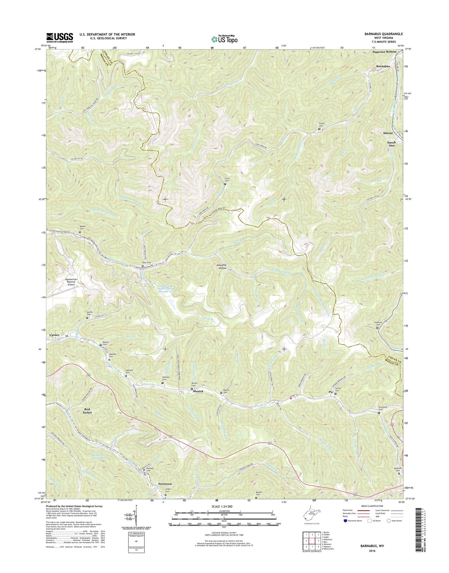
2023 topographic map quadrangle Barnabus in the state of West Virginia. Scale: 1:24000. Based on the newly updated USGS 7.5' US Topo map series, this map is in the following counties: Mingo, Logan. The map contains contour data, water features, and other items you are used to seeing on USGS maps, but also has updated roads and other features. This is the next generation of topographic maps. Printed on high-quality waterproof paper with UV fade-resistant inks.
Quads adjacent to this one:
West: Delbarton
Northwest: Myrtle
North: Holden
Northeast: Logan
East: Man
Southeast: Wharncliffe
Southwest: Matewan
This map covers the same area as the classic USGS quad with code o37082f1.
Contains the following named places: Appalachian Regional Airport, Ashcamp Hollow, Barnabus, Bearwallow Branch, Big Muncy Branch, Big Pigeonroost Branch, Big South Branch, Bird Branch, Browning Cemetery, Calico, Chafin Branch, Chafin Branch Dam, Chafin Cemetery, Chafin School, Cow Creek, Cow Creek Church, Curry Cemetery, Cynthia Branch, Delbarton Fire Station Substation 2, Double Camp Fork, Duty Branch, Duty Cemetery, Farley Cemetery, Ferrell Cemetery, Ferrell School, Grant Branch, Hall Fork, Hatfield Cemetery, Horse Road Fork, Island Creek School, Kennedy Cemetery, Left Fork Cow Creek, Left Fork Pine Creek, Left Fork Rockhouse Fork, Little Laurel Branch, Little Muncy Branch, Littles Creek, Loggy Branch, Longtail Lick Branch, Mahon Cemetery, Marks Branch, Meador Branch, Meador Cemetery, Muncy Valley Church, Musick, Musick Cemetery, National Refuse Dump Number 25, National Refuse Dump Number 25 Dam, Newtown, Newtown Post Office, Nighway Branch, Oilville, Oldfield Branch, Oldhouse Branch, Pats Branch, Pie, Ragland Church, Red Jacket Impoundment, Red Jacket School, Rover Branch, Sang Branch, Sizemore Cemetery, Slick Rock Branch, Spice Branch, Spring Branch, Stirrat, Stirrat School, Thacker Fork, Timothy Branch, Tom Branch, Twin Branch, Varney, Varney Cemetery, Varney Elementary School, Varney Post Office, ZIP Codes: 25644, 25690, 25692, 25696


