MyTopo
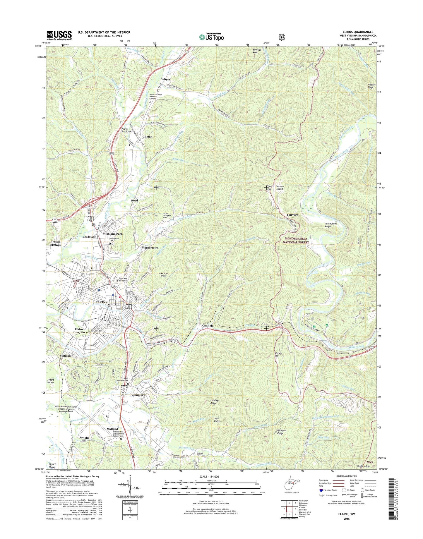
Elkins West Virginia US Topo Map
Couldn't load pickup availability
Also explore the Elkins Forest Service Topo of this same quad for updated USFS data
2023 topographic map quadrangle Elkins in the state of West Virginia. Scale: 1:24000. Based on the newly updated USGS 7.5' US Topo map series, this map is in the following counties: Randolph. The map contains contour data, water features, and other items you are used to seeing on USGS maps, but also has updated roads and other features. This is the next generation of topographic maps. Printed on high-quality waterproof paper with UV fade-resistant inks.
Quads adjacent to this one:
West: Junior
Northwest: Belington
North: Montrose
Northeast: Parsons
East: Bowden
Southeast: Glady
South: Beverly East
Southwest: Beverly West
This map covers the same area as the classic USGS quad with code o38079h7.
Contains the following named places: American Mountain Theater, Arnold Hill, Augusta Heritage Center, Bearlick Knob, Bearlick Run, Bearpen Ridge, Beaver Pond Run, Bike Trail Bridge, Buffalo Run, Calvary Church, Canfield, Canfield School, Central School, Chenoweth Creek, Church of Christ, City of Elkins, Claylick Run, Claylick School, Coffman Church, Craven Run, Cross Run, Davis and Elkins College, Davis Medical Center, Davis Memorial Baptist Church, Elkins, Elkins City Hall, Elkins City Park, Elkins Fire Department, Elkins High School, Elkins Industrial Park, Elkins Junction, Elkins Middle School, Elkins Mountain School, Elkins Police Department, Elkins Post Office, Elkins-Randolph County Airport-Jennings Randolph Field, Elkins-Randolph County Public Library, Fairview, Fairview Airport, First Assembly of God Church, First Baptist Church, First Church of Christ, First Church of the Nazarene, First United Methodist Church, First Ward School, Gilman, Glenmore, Goddin Run, Grace Episcopal Church, Harpertown, Hart Chapel, Hart Chapel Christian Academy, Hart School, Highland Adventist School, Highland Park, Holy Trinity Lutheran Church, Horse Run, Independent Order of Odd Fellows Cemetery, Isner Creek, Jennings Randolph Elementary School, Joes Ridge, John Street Baptist Church, Johns Run, Kelley Mountain, Laurel Fork, Leading Ridge, Leadsville, Leadsville District, Left Fork Chenoweth Creek, Lick Church, Little Arlington Cemetery, Loglick Run, Lumber, Maplewood Cemetery, Mashey Gap, Memorial General Hospital, Midland, Midland Elementary School, Montessori Early Learning Center, Mount Zion Church, Mountain State Memorial Gardens, NDNE Radio Tower, New Era Christian Academy, New Life Christian School, North Elementary School, Orlena Church, Otterbein United Methodist Church, Pearcy Run, Pearcy Run Bridge, Poe Run, Randolph County Alternative Center, Randolph County Courthouse, Randolph County Emergency Squad 1, Randolph County Jail, Randolph County Sheriff's Office, Randolph Technical Center, Rattlesnake Run, Read, Right Fork Chenoweth Creek, Riverdale School, Roney Run, Saint Brendan Catholic Church, Saint Brendan Catholic Church Cemetery, Saint Brendens School, Seventh Day Adventist Church, Slab Fork, Spruce Run, Stalnaker Run, Stuart Recreation Area, Sugar Run, Sullivan, Summerfield Run, Third Ward Elementary School, Turkeybone Ridge, Tygart Valley, Tygart Valley Mall Shopping Center, United Church of the Brethren, Virginia African Methodist Episcopal Chapel, Walker Run, Wayside Church, WCDE-FM (Elkins), WDNE-AM (Elkins), Wees Run, WELK-FM (Elkins), West Virginia Childrens Home, Western Run, Whyte, Wildcat Ridge, Wolf Run, Woodford Memorial United Methodist Church, Woolwine Run, ZIP Code: 26241


