MyTopo
Fairmont East West Virginia US Topo Map
Couldn't load pickup availability
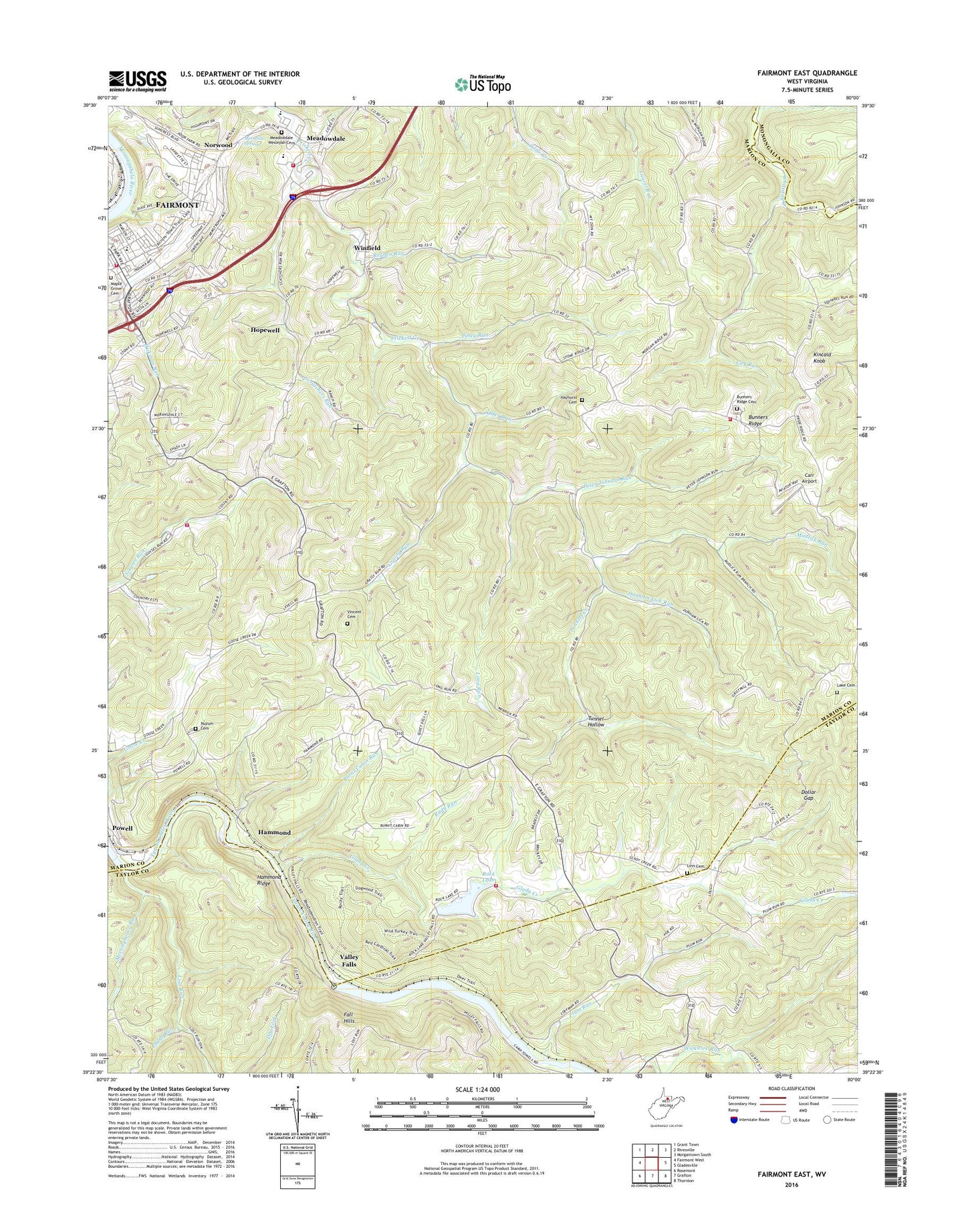
2023 topographic map quadrangle Fairmont East in the state of West Virginia. Scale: 1:24000. Based on the newly updated USGS 7.5' US Topo map series, this map is in the following counties: Marion, Taylor, Monongalia. The map contains contour data, water features, and other items you are used to seeing on USGS maps, but also has updated roads and other features. This is the next generation of topographic maps. Printed on high-quality waterproof paper with UV fade-resistant inks.
Quads adjacent to this one:
West: Fairmont West
Northwest: Grant Town
North: Rivesville
Northeast: Morgantown South
East: Gladesville
Southeast: Thornton
South: Grafton
Southwest: Rosemont
This map covers the same area as the classic USGS quad with code o39080d1.
Contains the following named places: Bethel Church, Brittain, Brittain School, Brown Church, Bunners Ridge, Bunners Ridge Cemetery, Bunners Ridge Church, Bunners Ridge Volunteer Fire Department, Burnt Cabin Run, Calvary Christian School, Canton, Carr Airport, Christ Church, Christ United Methodist Church, Christian and Missionary Alliance Church, Coffman Station, Dollar Gap, Dunham Lick Run, East Dale Elementary School, East Park Elementary School, Fairmont Fire Department Station 2 East Side, Fairmont Free Methodist Church, Fairmont Junction, Fairview United Methodist Church, First Church of the Nazarene, Forksburg, Forksburg School, Gath, Glady Creek, Glady Creek School, Goose Creek School, Graham Heights, Grassy Run, Grassy Run School, Hammond, Hammond Ridge, Hammond School, Hayhurst Cemetery, Hebron, Hebron Church, Henderson School, Hickman Run, Hickman Run School, Hill School, Hillview Baptist Chapel, Hopewell, Hopewell School, Hopewell United Methodist Church, Kincaid Knob, Lake Cemetery, Lake School, Lawler Church, Layman School, Levels Church, Lick Run, Light of Life Christian School, Linn Cemetery, Long Run, Lost Run, Maple Grove Cemetery, Meadowdale, Meadowdale School, Meadowdale Wesleyan Cemetery, Meetinghouse Run, Meredith Spring, Mission Farm, Mount Clair School, Mount Nebo Church, Mount Nebo School, Mount Sharon Church, Mount Zion United Methodist Church, Mudlick Run, Mudlick School, Nain Church, Neel, Norwood, Norwood Methodist Episcopal Church, Nuzum Cemetery, Old School Church, Otter Run, Padds Run, Palatine District, Peter Johnson Run, Piney Run, Pleasant Hill Church, Plum Run, Powell, Powell School, Quiet Dell Church, Quiet Dell School, Reuben Run, Rock Lake, Rock Lake Dam, Rudy Run, Samaria, Samaria Church, Scratchers Run, Shaw School, Springer School, Trinity Tabernacle Church, Tunnel Hollow, Valley Falls, Valley Falls State Park, Vincent Cemetery, Walnut Grove United Methodist Church, WFGM-FM (Fairmont), Winfield, Winfield District Volunteer Fire Department Colfax Station, Winfield District Volunteer Fire Department Main Station, Winfield District Volunteer Fire Department Rock Lake Station, Winfield School, Winfield United Methodist Church, Winona, ZIP Code: 26554


