MyTopo
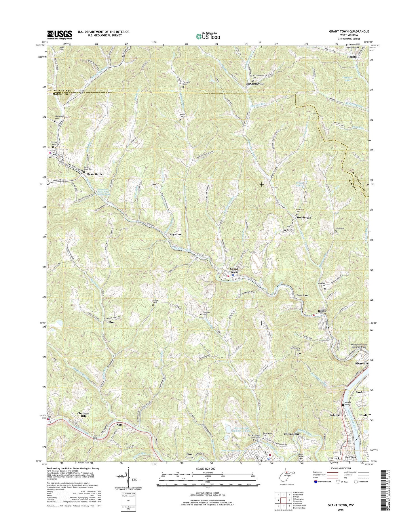
Grant Town West Virginia US Topo Map
Couldn't load pickup availability
2023 topographic map quadrangle Grant Town in the state of West Virginia. Scale: 1:24000. Based on the newly updated USGS 7.5' US Topo map series, this map is in the following counties: Marion, Monongalia. The map contains contour data, water features, and other items you are used to seeing on USGS maps, but also has updated roads and other features. This is the next generation of topographic maps. Printed on high-quality waterproof paper with UV fade-resistant inks.
Quads adjacent to this one:
West: Mannington
Northwest: Wadestown
North: Blacksville
Northeast: Osage
East: Rivesville
Southeast: Fairmont East
South: Fairmont West
Southwest: Shinnston
This map covers the same area as the classic USGS quad with code o39080e2.
Contains the following named places: Arnett Run, Ballah Chapel Monumental United Methodist Church, Barb Cemetery, Barnes Junior High School, Barnes Learning Center, Barrackville, Barrackville Cemetery, Barrackville Covered Bridge, Barrackville Elementary - Middle School, Barrackville Number 41 Lake, Barrackville Police Department, Barrackville Post Office, Barrackville Volunteer Fire Department, Basnettville, Basnettville Public Water Supply Spring, Baxter, Baxter Census Designated Place, Baxter School, Baxter United Methodist Church, Baxter Volunteer Fire Department, Bennefield Cemetery, Bennefield Prong, Bethel Church, Bethel Run, Bethel School, Bowls Chapel, Chatham Hill, Chesapeake, Chunk Run, Conrad Dam, Consol Number Nine Slurry Impoundment Dam, Cunningham Cemetery, Dakota, Davy Run, Dogwood Lakes, Dunkard Mill Run, Eastern Gas and Fuel Lake, Edgar Ice Heirs Spring, Fairmont Christian Academy, Fairview, Fairview Cemetery, Fairview Elementary School, Fairview Police Department, Fairview Post Office, Fairview United Methodist Church, Fairview Volunteer Fire Company and Emergency Management Service Station 35, Farmington, Farmington Police Department, Farmington Post Office, Farmington Volunteer Fire Department, Finchs Run, Freeland Cemetery, Frissbang School, Gilboa Cemetery, Gilboa Church, Grant Town, Grant Town Police Department, Grant Town Post Office, Grant Town Volunteer Fire Department Station 37, Green Lakes, Hagans, Hagans Cemetery, Hagans Christian Church, Hagans Methodist Church, Hawkinberry Cemetery, Hawkinberry Run, Highland Avenue United Methodist Church, Highlawn United Methodist Church, Hood Cemetery, Hoodsville, Hoodsville Cemetery, Hoult, Johnson Run, Katy, Katy Church, Kennedy Run, Keystone, Laurel Run, Little Laurel Run, Little Paw Paw Creek, Marion County, Marvin Chapel, McCurdysville Cemetery, McCurdyville, McFarland Run, Middletown District, Mine Number Nine Slurry Impoundment, Ministers Run, Monumental Church, Mount Carmel Cemetery, Nams Run, Panther Lick Run, Paw Paw, Paw Paw Veterans Memorial Bridge, Pine Grove, Pitcher Cemetery, Pitcher United Methodist Church, Pleasant Point School, Rivesville Elementary - Middle School, Robinson Run, Rush Run, Saint John Methodist Church, Saint Johns Cemetery, Saint Paul Baptist Church, Sanford, Shuman Run, Tarney Run, Tennant Cemetery, Toothman Run, Town of Barrackville, Town of Fairview, Town of Grant Town, Upton, Willow Tree Church, Wilson Cemetery, ZIP Codes: 26559, 26560, 26574, 26588


