MyTopo
Gilboa West Virginia US Topo Map
Couldn't load pickup availability
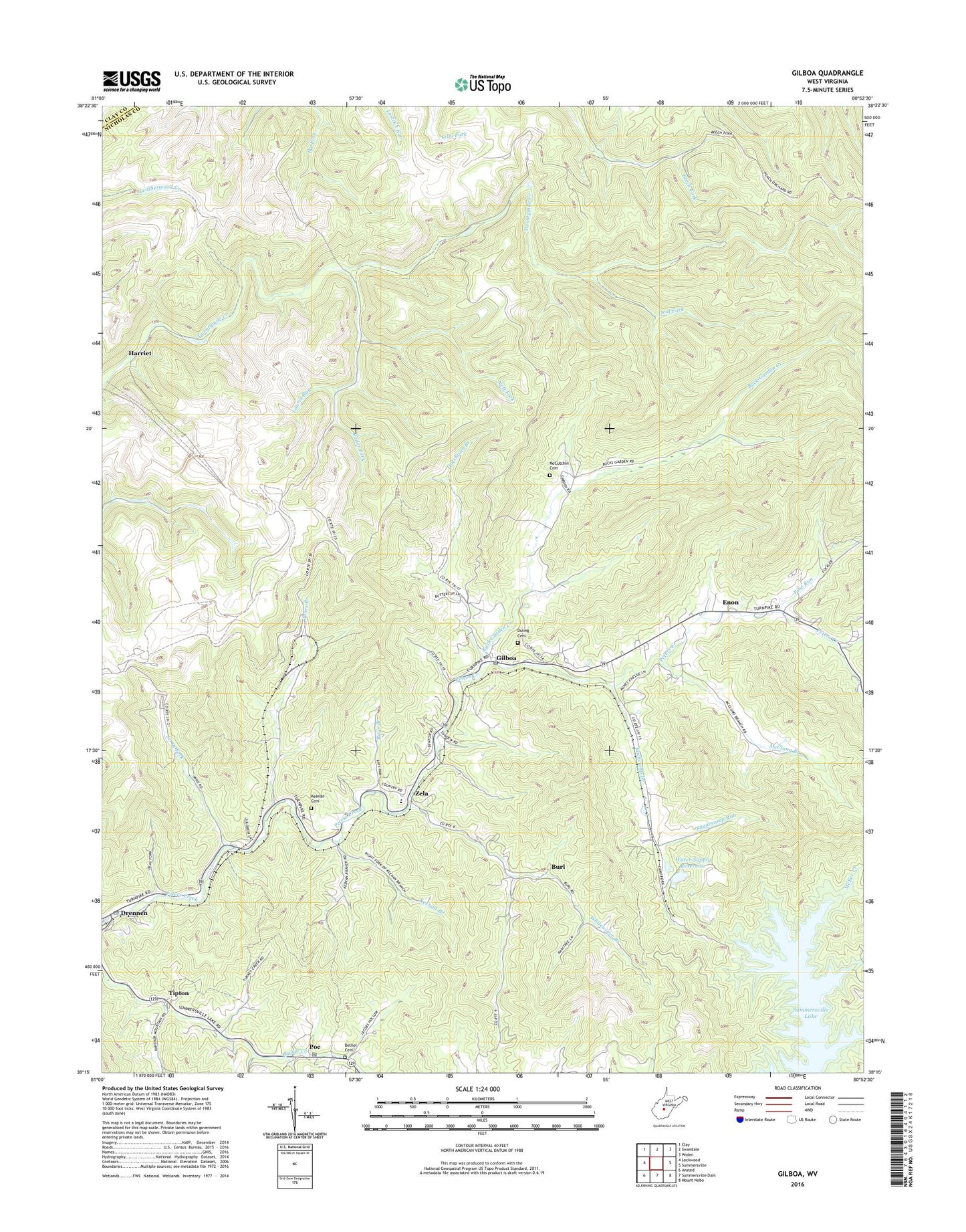
2023 topographic map quadrangle Gilboa in the state of West Virginia. Scale: 1:24000. Based on the newly updated USGS 7.5' US Topo map series, this map is in the following counties: Nicholas, Clay. The map contains contour data, water features, and other items you are used to seeing on USGS maps, but also has updated roads and other features. This is the next generation of topographic maps. Printed on high-quality waterproof paper with UV fade-resistant inks.
Quads adjacent to this one:
West: Lockwood
Northwest: Clay
North: Swandale
Northeast: Widen
East: Summersville
Southeast: Mount Nebo
South: Summersville Dam
Southwest: Ansted
This map covers the same area as the classic USGS quad with code o38080c8.
Contains the following named places: Bell School, Bethel Cemetery, Bethel United Methodist Church, Bryant Branch, Buck Garden Creek, Burl, Church of God, Cornelia, Deal Fork, Drennen, Drennen Post Office, Duling Cemetery, Enon, Enon Church, Gilboa, Gilboa Post Office, Gilboa United Methodist Church, Grant District, Harriet, Hutchison Branch, Jerry Fork, Jones Branch, Keenan Branch, Keenan Cemetery, Laurel Run, Lone Star Lookout Tower, Lone Star School, McClung Branch, McCutchin Cemetery, Neff Fork, Peerless Eagle Dam, Pierson United Methodist Church, Pine Run, Poe, Poe Post Office, Rader Fork, Rays Branch, Rockcamp Branch, Salem Church, Spruce Run, Stony Branch, Sugarcamp Run, Summersville District, Summersville Lake State Wildlife Area, Tipton, Water Supply Reservoir, Way Back Trail, Whitewater Branch, Winebrenner School, Zela, Zela Elementary School, ZIP Code: 26651


