MyTopo
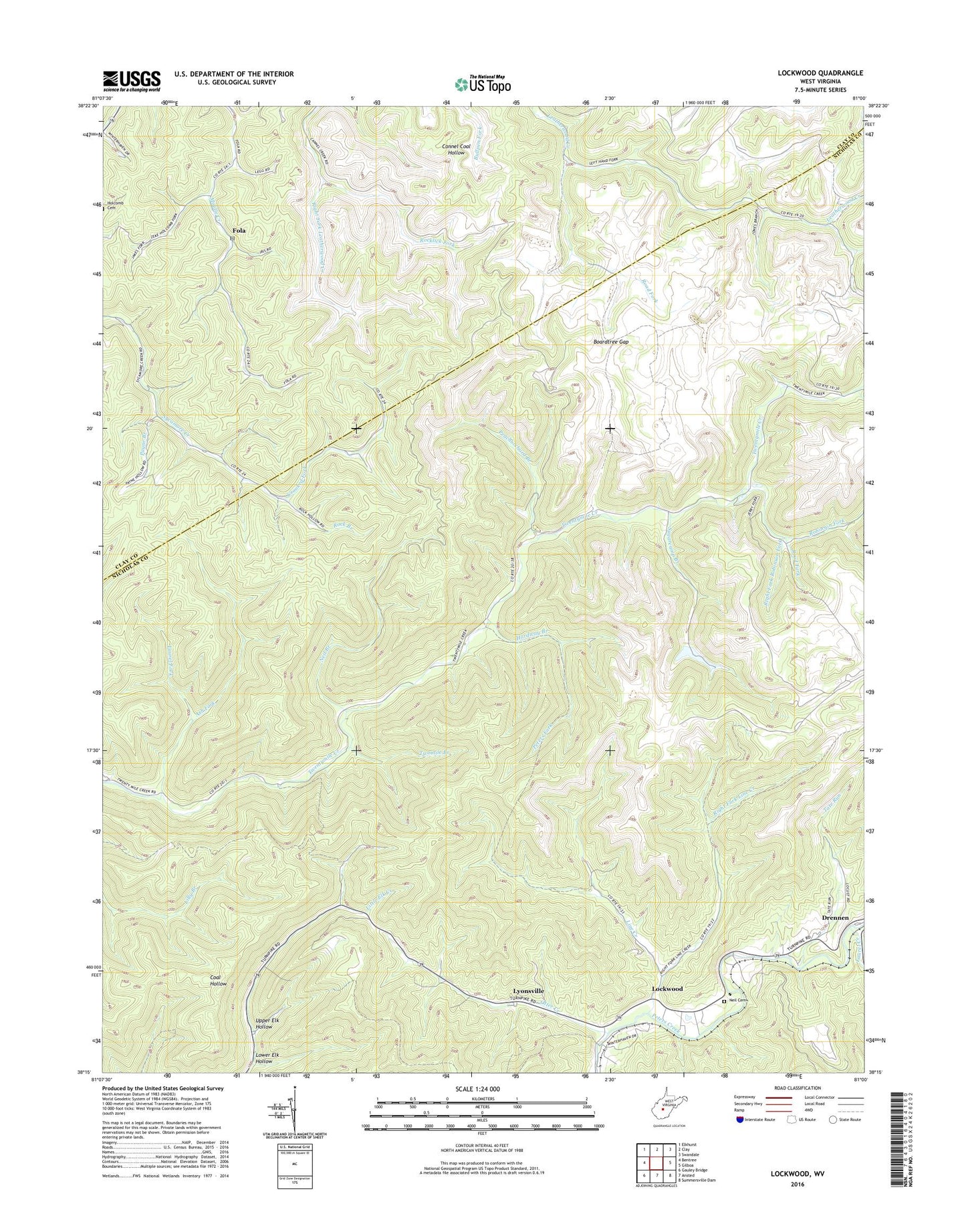
Lockwood West Virginia US Topo Map
Couldn't load pickup availability
2023 topographic map quadrangle Lockwood in the state of West Virginia. Scale: 1:24000. Based on the newly updated USGS 7.5' US Topo map series, this map is in the following counties: Nicholas, Clay. The map contains contour data, water features, and other items you are used to seeing on USGS maps, but also has updated roads and other features. This is the next generation of topographic maps. Printed on high-quality waterproof paper with UV fade-resistant inks.
Quads adjacent to this one:
West: Bentree
Northwest: Elkhurst
North: Clay
Northeast: Swandale
East: Gilboa
Southeast: Summersville Dam
South: Ansted
Southwest: Gauley Bridge
This map covers the same area as the classic USGS quad with code o38081c1.
Contains the following named places: Ash Fork, Bickmore Church, Boardtree Branch, Boardtree Gap, Centennial Fairview Baptist Church, Community Church, Crooked Fork, Fola, Fola Missionary Baptist Church, Fola Post Office, Hardway Branch, Holcomb Cemetery, Jefferson District, Laurel Creek, Laurel Fork, Lick Fork Freewill Church, Line Creek, Lockwood, Lower Elk Hollow, Lyonsville, Neil Branch, Neil Cemetery, Otter Creek, Otter Creek School, Payne Branch, Peachorchard Branch, Peters Fork, Right Fork Line Creek, Right Fork Robinson Fork, Road Fork, Robinson Fork, Rock Branch, Rocklick Fork, Rosetta School, Stillhouse Branch, Sugarcamp Branch, Tate Run, Twentymile Church, Twenty-Mile School, Twomile Branch, Upper Elk Hollow, ZIP Code: 25019


