MyTopo
Glenville West Virginia US Topo Map
Couldn't load pickup availability
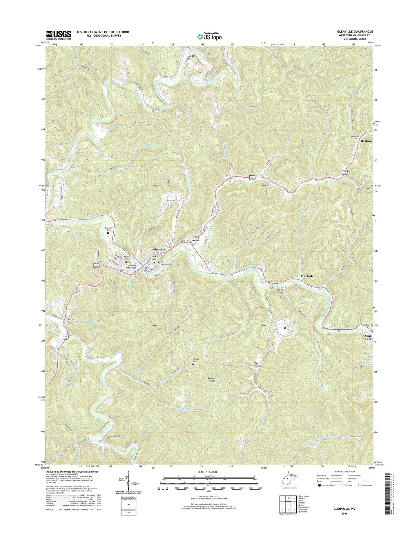
2023 topographic map quadrangle Glenville in the state of West Virginia. Scale: 1:24000. Based on the newly updated USGS 7.5' US Topo map series, this map is in the following counties: Gilmer. The map contains contour data, water features, and other items you are used to seeing on USGS maps, but also has updated roads and other features. This is the next generation of topographic maps. Printed on high-quality waterproof paper with UV fade-resistant inks.
Quads adjacent to this one:
West: Tanner
Northwest: Burnt House
North: Auburn
Northeast: Vadis
East: Gilmer
Southeast: Burnsville
South: Cedarville
Southwest: Normantown
This map covers the same area as the classic USGS quad with code o38080h7.
Contains the following named places: Alice, Alice Cemetery, Bailey School, Baldwin, Baldwin Church, Barnett Run, Bear Run, Bear Run School, Big Hollow, Big Run, Bloody Run, Cather School, Cedar Creek State Park, Chestnut Run, City District, Collins Run, Crooked Run, Crooked Run Church, Dawson Church, Dawson School, Dora, Dry Run, Dry Run School, Duck Creek, Duck Creek School, Duskcamp Church, Ellis Run School, Federal Correctional Institute Gilmer Satellite Camp, Federal Correctional Institution Gilmer, Flat Run, Fort Moore, Gilmer County, Gilmer County Ambulance Service 75, Gilmer County Courthouse, Gilmer County High School, Gilmer County Sheriff's Office, Gilmer County Volunteer Fire Department Glenville Station, Glenville, Glenville Elementary School, Glenville Golf Club, Glenville Police Department, Glenville Post Office, Glenville State College, Glenville State College Department of Public Safety, Glenville Truss Bridge, Gluck Run, Gluck Run School, Grandcamp Run, Grassy Run, Horn Creek, I L "Ike" Morris Bridge, Kelley Run, Leading Creek Church, Let, Lick Run, Little Crooked Run, Long Lick Run, Lower Stewart Creek Church, Lynch Run, Lynch Run School, Messenger Cemetery, Mikes Run, Mudlick Run, Nutter Run, O'donnell Number Two Mine Slurry Dam, Old Glenville Cemetery, Otterbein Church, Park View Trail, Powell Knob, Rhodes Cemetery, Richbottom Run, Road Run, Sand Fork, Sand Fork Post Office, Sperry Cabin Run, Spruce Run, Spruce Run School, Spruce School, Stalnaker Cemetery, Stewart Creek, Stewart Creek School, Sugar Grove School, Sugarcamp Run, Sycamore Run, Tank Hill, Town of Glenville, Town Run, Truebada, Turkey Fork, Turkey Fork School, Turkey Run, Two Run, Upper Two Run, West Virginia State Police Troop 3 - Glenville Detachment, Whitting Cemetery, Wolfpen Run, ZIP Code: 26351


