MyTopo
Man West Virginia US Topo Map
Couldn't load pickup availability
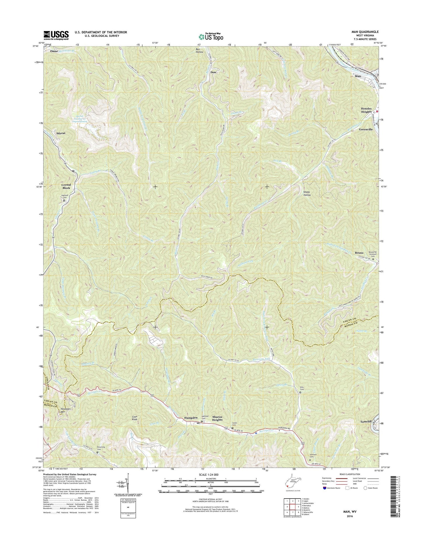
2019 topographic map quadrangle Man in the state of West Virginia. Scale: 1:24000. Based on the newly updated USGS 7.5' US Topo map series, this map is in the following counties: Logan, Mingo. The map contains contour data, water features, and other items you are used to seeing on USGS maps, but also has updated roads and other features. This is the next generation of topographic maps. Printed on high-quality waterproof paper with UV fade-resistant inks.
Quads adjacent to this one:
West: Barnabus
Northwest: Holden
North: Logan
Northeast: Amherstdale
East: Mallory
Southeast: Gilbert
South: Wharncliffe
Contains the following named places: Big Branch, Browning Cemetery, Browning Fork, Browning Fork Church, Browning-Grimmet Cemetery, Buffalo Creek, Buffalo Creek Memorial Public Library, Conley Branch, Coon Branch, Coon Knob, Crystal Block, Deadman Branch, Don, Donaldson Branch, Douglas School, Ellis Cemetery, Gilbert High School, Hampden, Hampden Post Office, Hatfield Cemetery, Henry Branch, Hensley Heights, Horsepen Mountain, Laurel Branch, Left Fork, Lefthand Fork, Lick Branch, Logan County Fire Department Station 2, Lower Dempsey Branch, Man, Man High School, Mingo Lookout Tower, Mountain View, Oldhouse Branch, Perry Branch, Pit Branch, Right Fork Browning Fork, Right Fork Island Creek, Right Fork Sandlick Creek, Road Fork, Rockhouse Branch, Rockhouse Creek, Sarah Ann, Sarah Ann Census Designated Place, Sarah Ann Post Office, Sharkey Branch, Sharon Heights, Sheep Hollow, Smith Branch, Smith Cemetery, South Man Elementary School, Spring Branch, Stirrat Number 15 Impoundment, Stirrat Number 15 Waste Embankment Dam, Superior Bottom, Tamcliff, Town of Man, Upper Dempsey Branch, Upper Pete Branch, West Virginia State Police Troop 5 - Gilbert Detachment, ZIP Codes: 25621, 25632, 25635