MyTopo
Mannington West Virginia US Topo Map
Couldn't load pickup availability
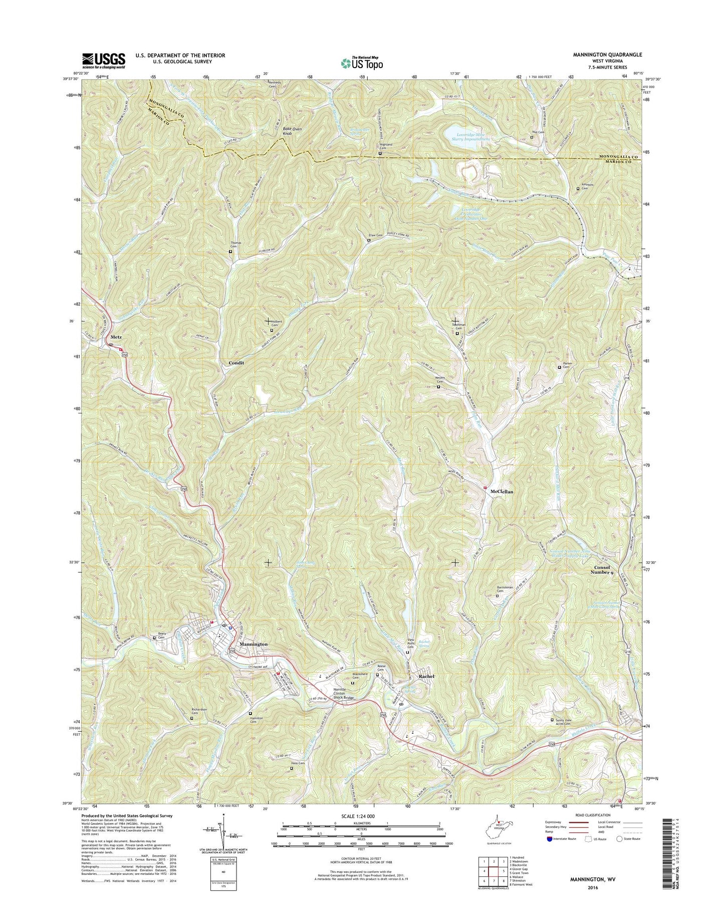
2023 topographic map quadrangle Mannington in the state of West Virginia. Scale: 1:24000. Based on the newly updated USGS 7.5' US Topo map series, this map is in the following counties: Marion, Monongalia. The map contains contour data, water features, and other items you are used to seeing on USGS maps, but also has updated roads and other features. This is the next generation of topographic maps. Printed on high-quality waterproof paper with UV fade-resistant inks.
Quads adjacent to this one:
West: Glover Gap
Northwest: Hundred
North: Wadestown
Northeast: Blacksville
East: Grant Town
Southeast: Fairmont West
South: Shinnston
Southwest: Wallace
This map covers the same area as the classic USGS quad with code o39080e3.
Contains the following named places: Ammons Cemetery, Bake Oven Knob, Barrickman Cemetery, Beaty Cemetery, Beegum Union Church, Blackshere Cemetery, Blackshere Chapel, Blackshere Elementary School, Broadwater Spring, Brummage School, Brush Run, Calvary Baptist Church, Calvary Christian School, Campbell Run, Campbell Run Church, Carberry Run, Church of the Nazarene, City of Mannington, Clear Drain, Condit, Consol Number 9, Consol Number Nine Freshwater Dam, Consol Number Nine Water Supply Lake, Dents Run, Dents Run Reservoir, Downs, Drakes Run, Dudley Fork, Dudley Fork School, East Run, East Run Church, East Run School, Efaw Cemetery, Efaw School, Fairview Middle School, Fairview Public Library, Farmington United Methodist Church, Farmington Volunteer Fire Department, Farmington Volunteer Fire Department Plum Run Station, First Baptist Church, First United Methodist Church, First United Presbyterian Church, Flaggy Meadow Baptist Church, Flaggy Meadow Run, Flat Run, Flat Run School, Fleming Fork, Flyblow, Glade Run, Grays Run, Hamilton Cemetery, Harvey Run, Haughts Chapel United Methodist Church, Hess Cemetery, Highland Cemetery, Highland United Methodist Church, Holbert Cemetery, Homewood, Hough Park, Iron Spring School, Jamison Number 9 Mine Camp Spring, John Gump Spring, Johnnycake Run, Laurel Run, Left Fork Campbell Run, Little Dents Run, Little Dents Run School, Little Dunkard Mill Run, Little Mod Run, Little Whetstone Run, Llewellyn Church, Llewellyn Run, Llewellyn Run School, Loveridge Fresh Water Dam Number One, Loveridge Fresh Water Dam Number Three, Loveridge Fresh Water Dam Number Two, Loveridge Freshwater Dam Number One, Loveridge Mine Impoundment Number Five, Loveridge Mine Slurry Impoundment, Loveridge Number Five Dam, Loveridge Number Four Dam, Loveridge Slurry Impoundment Dam, Lower Plum Run School, Mahan Run, Mahan School, Mannington, Mannington Christian Church, Mannington Church of Christ, Mannington Dam, Mannington Fire Department, Mannington Middle School, Mannington Police Department, Mannington Post Office, Mannington Public Library, Mannington Volunteer Fire Department Homewood Station, Mannington Volunteer Fire Department Metz Station, Marion County Technical Center, McClellan, Messer Run, Metz, Metz Post Office, Meyers Cemetery, Meyers Church, Mod Run, Mod Run Impoundment Dam, Mod Run School, Mod Run Slurry Pond, Monongalia Church, North Marion High School, Norville Clinton Shock Bridge, Parker Cemetery, Pawpaw School, Plum Run, Pyles Fork, Rachel, Rachel Census Designated Place, Rachel H and F Club Dam, Rachel Post Office, Rachel Spring, Reese Cemetery, Richardson Cemetery, Saint Patrick Catholic Church, Salt Lick Chapel, Salt Lick Run, State Road Fork, State Road Run, Sugar Run, Sunny View Acres Cemetery, Thomas Cemetery, Toothman Cemetery, Town of Farmington, Union School, Union Valley Church, Upper Plum Run School, View Point Cemetery, West Augusta District, Whetstone Run, Whetstone School, WTUS-FM (Mannington), Yost Cemetery, ZIP Codes: 26571, 26587