MyTopo
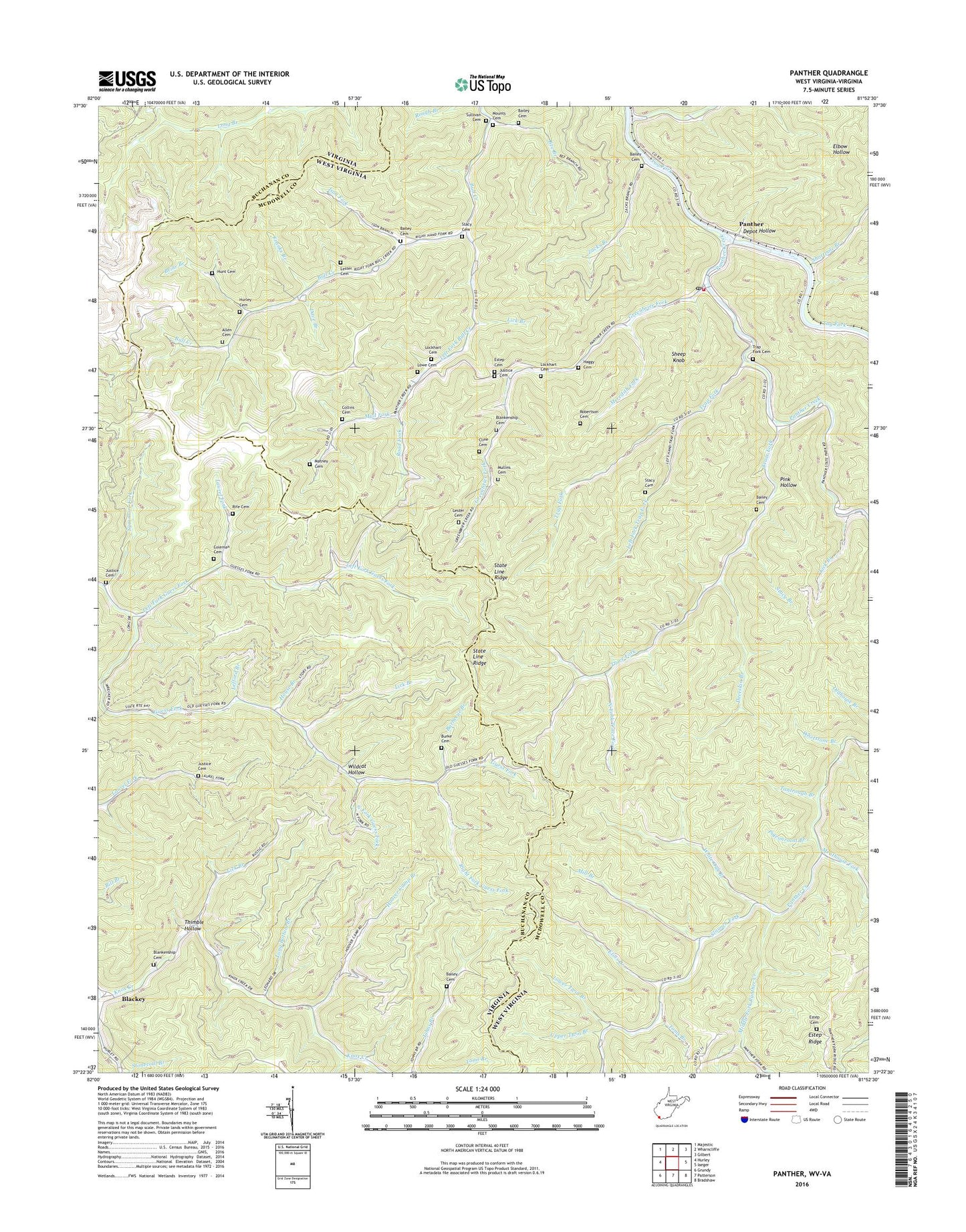
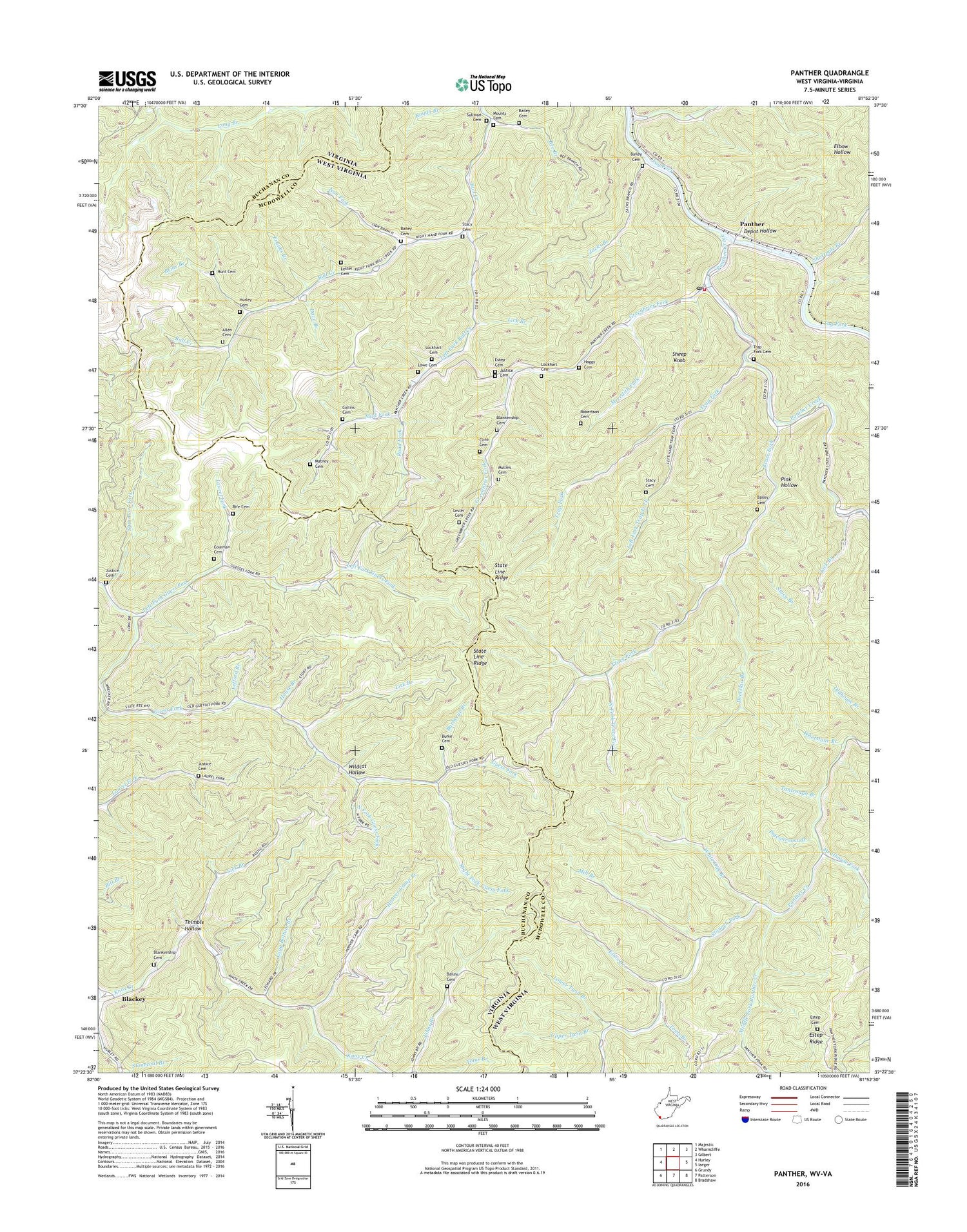
Panther West Virginia US Topo Map
Couldn't load pickup availability
2023 topographic map quadrangle Panther in the states of West Virginia, Virginia. Scale: 1:24000. Based on the newly updated USGS 7.5' US Topo map series, this map is in the following counties: McDowell, Buchanan. The map contains contour data, water features, and other items you are used to seeing on USGS maps, but also has updated roads and other features. This is the next generation of topographic maps. Printed on high-quality waterproof paper with UV fade-resistant inks.
Quads adjacent to this one:
West: Hurley
North: Wharncliffe
Northeast: Gilbert
East: Iaeger
Southeast: Bradshaw
South: Patterson
Southwest: Grundy
This map covers the same area as the classic USGS quad with code o37081d8.
Contains the following named places: Allen Cemetery, Bailey Cemetery, Barbecue Branch, Bee Branch, Bee Branch School, Blackey, Blankenship Cemetery, Briar Branch, Bull Creek School, Burke Cemetery, Cline Cemetery, Coleman Cemetery, Collins Cemetery, Dave Branch, Deerskin Branch, Depot Hollow, Elias Branch, Estep Cemetery, Estep Ridge, Franks Branch, Greenbrier Fork, Greenbrier Fork Church, Greenbrier School, Haggy Cemetery, Hoover Camp Branch, House Branch, Hunt Cemetery, Hurley Cemetery, Ison Fork, Justice Cemetery, Justus Branch, Laurel Fork, Lefford Branch, Left Fork Bull Creek, Left Fork Guess Fork, Left Fork Trap Fork, Lester Cemetery, Lick Branch, Little Dove Church, Little Zion Church, Lockhart Cemetery, Long Bottom Branch, Long Bottom Branch Dam, Longpole Creek, Lowe Cemetery, Lower Guess Fork School, Lower Twin Branch, Matney Cemetery, McKinley School, Meathouse Fork, Meredith Fork, Middle Fork Panther Creek, Mill Branch, Mounts Cemetery, Mud Fork, Mullins Cemetery, North Fork Guess Fork, North Fork Trace Fork, Panther, Panther Creek, Panther Elementary School, Panther Lookout Tower, Panther Post Office, Panther State Forest, Panther Volunteer Fire Department, Pigeonroost Branch, Pink Hollow, Rife Cemetery, Right Fork Guess Fork, Right Fork Straight Fork, Road Fork, Robertson Cemetery, Sheep Knob, Shortpole Branch, Slaunch Fork, Stacy Branch, Stacy Cemetery, Straight Fork, Sullivan Cemetery, Sycamore Fork, Tantrough Branch, Thimble Hollow, Toms Branch, Trace Fork, Trace Fork School, Trap Fork, Trap Fork Cemetery, Trap Fork School, Upper Guess Fork School, Upper Twin Branch, Whetstone Branch, White Oak Branch, Wildcat Hollow, Zacks Branch, ZIP Codes: 24862, 24872


