MyTopo
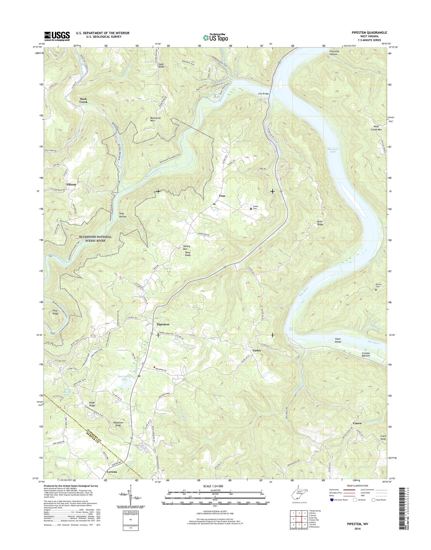
Pipestem West Virginia US Topo Map
Couldn't load pickup availability
2023 topographic map quadrangle Pipestem in the state of West Virginia. Scale: 1:24000. Based on the newly updated USGS 7.5' US Topo map series, this map is in the following counties: Summers, Mercer. The map contains contour data, water features, and other items you are used to seeing on USGS maps, but also has updated roads and other features. This is the next generation of topographic maps. Printed on high-quality waterproof paper with UV fade-resistant inks.
Quads adjacent to this one:
West: Flat Top
Northwest: Shady Spring
North: Hinton
Northeast: Talcott
East: Forest Hill
Southeast: Peterstown
South: Lerona
Southwest: Athens
This map covers the same area as the classic USGS quad with code o37080e8.
Contains the following named places: Barton Cemetery, Bertha School, Bluestone Lake, Bluestone Lake Wildlife Management Area, Bluestone Mountain, Bluestone River, Bluestone River District, Bluestone State Park, Bluestone Wild and Scenic River, Buffalo Creek, Buffalo School, Bull Falls, Bull Falls Camping Area, Carew, Clark Knob, Cooks Chapel, Davy Knob, Ellison, Falling Rock School, Farley, Farley School, Fourmile Hollow, Greenbrier Church, Haines Ferry, James Chapel, Jordans Chapel, Knob Ridge, Knob Ridge School, Lilly, Lilly Bridge, Little Bluestone River, Long Branch Lake, Parker Creek, Pine Grove School, Pipestem, Pipestem Christian Academy, Pipestem Church, Pipestem Creek, Pipestem Golf Club Par 3 Course, Pipestem Golf Club Regulation Course, Pipestem Grade School, Pipestem Knob, Pipestem Post Office, Pipestem School, Pipestem State Park, Pipestem Volunteer Fire Department, Pleasant View School, Ridge School, River Ridge, Rockymount Church, Sand Knob, Sand Knob Church, Sand Knob School, Snider Cemetery, Steer Island, Suck Creek, Sun Valley Lake, Sun Valley Lake Dam, Sunrise Branch, Surveyor Branch, Sycamore School, Tallery Mountain, Toms Run, Tony Hollow, True, True Post Office, True School, Warford, ZIP Codes: 25978, 25979


