MyTopo
Talcott West Virginia US Topo Map
Couldn't load pickup availability
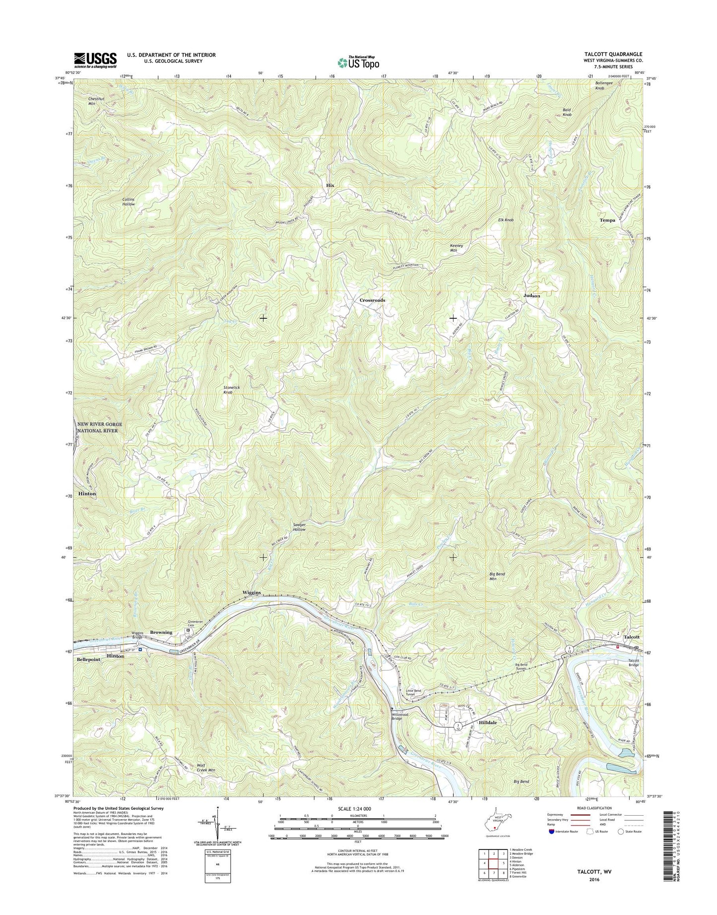
2023 topographic map quadrangle Talcott in the state of West Virginia. Scale: 1:24000. Based on the newly updated USGS 7.5' US Topo map series, this map is in the following counties: Summers. The map contains contour data, water features, and other items you are used to seeing on USGS maps, but also has updated roads and other features. This is the next generation of topographic maps. Printed on high-quality waterproof paper with UV fade-resistant inks.
Quads adjacent to this one:
West: Hinton
Northwest: Meadow Creek
North: Meadow Bridge
Northeast: Dawson
East: Alderson
Southeast: Greenville
South: Forest Hill
Southwest: Pipestem
This map covers the same area as the classic USGS quad with code o37080f7.
Contains the following named places: Bald Knob, Ballengee Knob, Ballengee School, Beech Grove School, Bennett Church, Big Bend, Big Bend Mountain, Big Bend Tunnels, Big Creek, Big Creek Church, Bills Creek, Boone Creek, Boone School, Browning, Browning Branch, Cave Branch, Cave Branch School, Chestnut Grove Church, Chestnut Mountain, Chestnut Mountain Church, Chestnut Mountain School, Cox School, Crawford School, Crossroads, Elk Knob, Elk Knob Church, Fox School, Greenbrier Cemetery, Greenbrier Valley Rural Volunteer Fire Department, Hilldale, Hix, Howard Creek, Howard Creek School, Hungard Creek, Judson, Judson Freewill Baptist Church, Keatley Springs Church, Little Bend Tunnel, Nova Post Office, Pleasant View School, Powley Creek, Powley Creek Church, Powley Creek School, Rock Bottom School, Sand Spring School, Sawyer Hollow, Shockley Hill Church, Spicelick School, Stonelick Branch, Stonelick Knob, Summers County, Summers County Appalachian Regional Healthcare Hospital, Summers County Volunteer Fire Department Tug Creek Station, Talcott, Talcott Bridge, Talcott Elementary School, Talcott Post Office, Tempa, Upland Church, Ward School, Wiggins, Wiggins Bridge, Willow Wood Country Club Golf Course, Willowood Bridge, Woodramtown Branch, Woodramtown School, ZIP Code: 25951


