MyTopo
Meadow Creek West Virginia US Topo Map
Couldn't load pickup availability
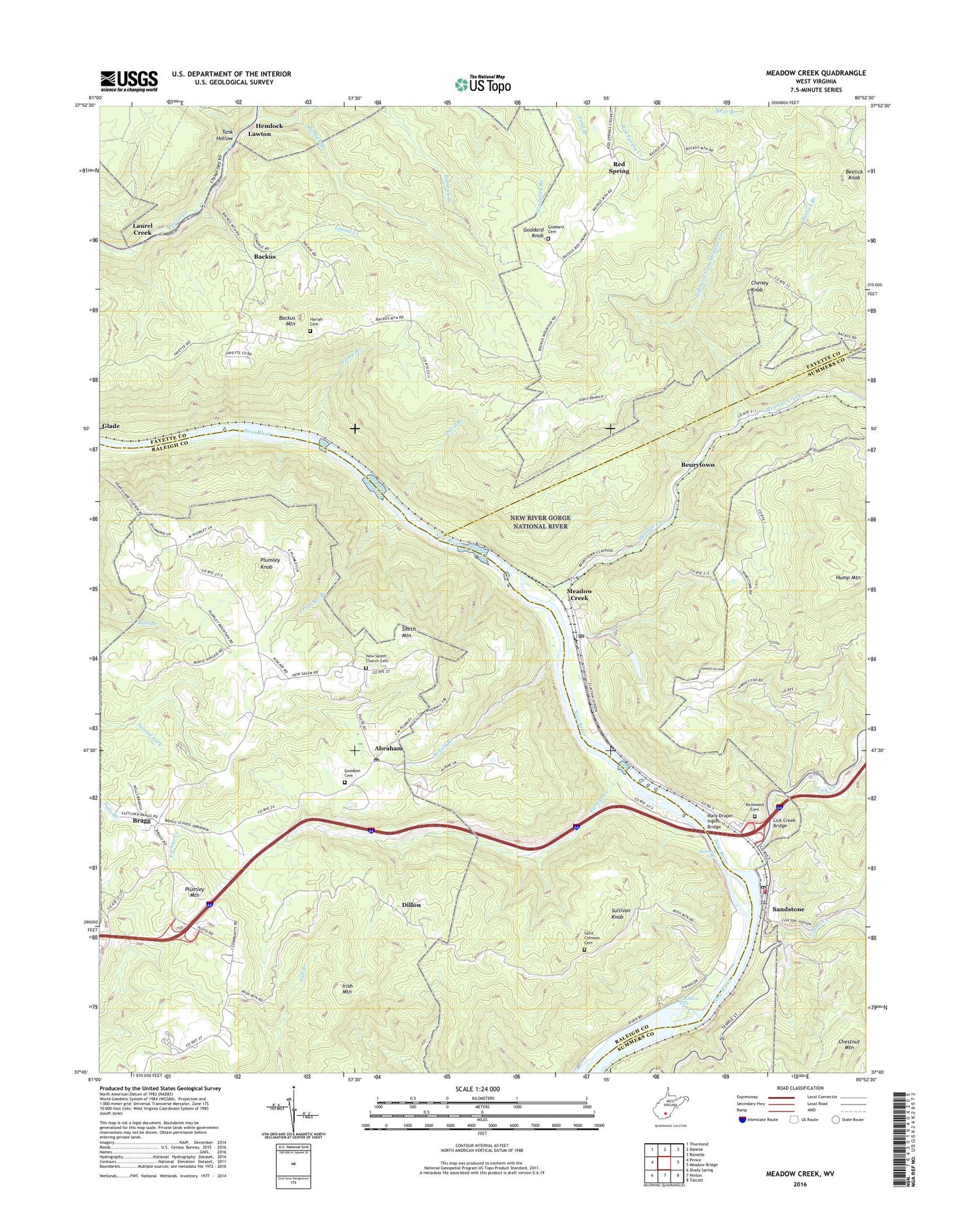
2023 topographic map quadrangle Meadow Creek in the state of West Virginia. Scale: 1:24000. Based on the newly updated USGS 7.5' US Topo map series, this map is in the following counties: Raleigh, Fayette, Summers. The map contains contour data, water features, and other items you are used to seeing on USGS maps, but also has updated roads and other features. This is the next generation of topographic maps. Printed on high-quality waterproof paper with UV fade-resistant inks.
Quads adjacent to this one:
West: Prince
Northwest: Thurmond
North: Danese
Northeast: Rainelle
East: Meadow Bridge
Southeast: Talcott
South: Hinton
Southwest: Shady Spring
This map covers the same area as the classic USGS quad with code o37080g8.
Contains the following named places: Abraham, Abraham Post Office, Backus, Backus Mountain, Beelick Branch, Beelick Knob, Beurytown, Bragg, Bragg School, Camp Branch, Cheney Knob, Chestnut Knob Fork, Coles School, Davis Branch, Dillon, Eburnean School, Farleys Creek, First Baptist Church, Glendale School, Goddard Cemetery, Goddard Knob, Goodson Cemetery, Green Sulphur District Volunteer Fire Department, Harrah Cemetery, Harrah School, Hemlock, Hump Mountain, Irish Mountain, Irish School, Kincaid School, Laurel Creek, Laurel Creek Baptist Church, Lawton, Lefthand Fork Meadow Creek, Lick Creek, Lick Creek Bridge, Little Laurel Church, Mary Draper Ingles Bridge, Meadow Creek, Meadow Creek Missionary Baptist Church, Meadow Creek Post Office, New Richmond, New River Gorge National River, New Salem Church, New Salem Church Cemetery, Oak Grove Church, Panther Branch, Paynes School, Pear, Plumley Knob, Plumley Mountain, Plumley School, Red Spring, Richlick Branch, Richman Falls, Richmond Cemetery, Richmond School, Saint Colman's Cemetery, Saint Colmans Roman Catholic Church, Sandstone, Sandstone Elementary School, Sandstone Falls, Sandstone Falls State Park, Sandstone Missionary Baptist Church, Sandstone Post Office, Serena School, Sewell Branch, Smith Mountain, Sullivan Knob, Tank Hollow, Thomas School, ZIP Codes: 25918, 25977


