MyTopo
War West Virginia US Topo Map
Couldn't load pickup availability
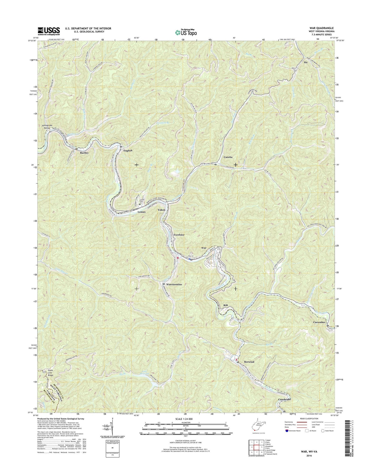
2023 topographic map quadrangle War in the state of West Virginia. Scale: 1:24000. Based on the newly updated USGS 7.5' US Topo map series, this map is in the following counties: McDowell, Buchanan. The map contains contour data, water features, and other items you are used to seeing on USGS maps, but also has updated roads and other features. This is the next generation of topographic maps. Printed on high-quality waterproof paper with UV fade-resistant inks.
Quads adjacent to this one:
West: Bradshaw
Northwest: Iaeger
North: Davy
Northeast: Welch
East: Gary
Southeast: Tazewell North
South: Amonate
Southwest: Jewell Ridge
This map covers the same area as the classic USGS quad with code o37081c6.
Contains the following named places: Barrenshe Creek, Bartley, Bartley Census Designated Place, Bartley Creek, Bartley Elementary School, Bartley Post Office, Berwind, Berwind Census Designated Place, Berwind Elementary School, Berwind Lake Dam, Berwind Lake Wildlife Management Area, Berwind Post Office, Berwind Volunteer Fire Department Station 1, Big Branch, Big Creek, Big Creek District, Big Creek High School, Buck Fork, Canebrake Post Office, Caretta, Caretta Post Office, City of War, Clear Fork Branch, Cucumber, Cucumber Post Office, English, English Post Office, Excelsior, Harmon Branch, Harris Branch, Jacobs Fork, Johnnycake Hollow, Johns Branch, Kewee Creek, Lake Berwind, Lomax, Lomax Cemetery, Lower Trace Fork, McDowell County Emergency Ambulance Authority Station 4, Middle Trace Fork, Mount Airy Church, Mountain Fork, Mudlick Branch, Olga Number 2 Lookout Tower, Perry Camp Branch, Pruett Branch, Rift, Six, Southside K - 8 School, Straight Branch, Straight Fork, Threefork Branch, Union Church, War, War Creek, War Elementary School, War Junior High School, War Police Department, War Post Office, War Public Library, War Volunteer Fire Department, Warriormine, Warriormine Post Office, Yukon, ZIP Codes: 24813, 24892, 24894


