MyTopo
Whitesville West Virginia US Topo Map
Couldn't load pickup availability
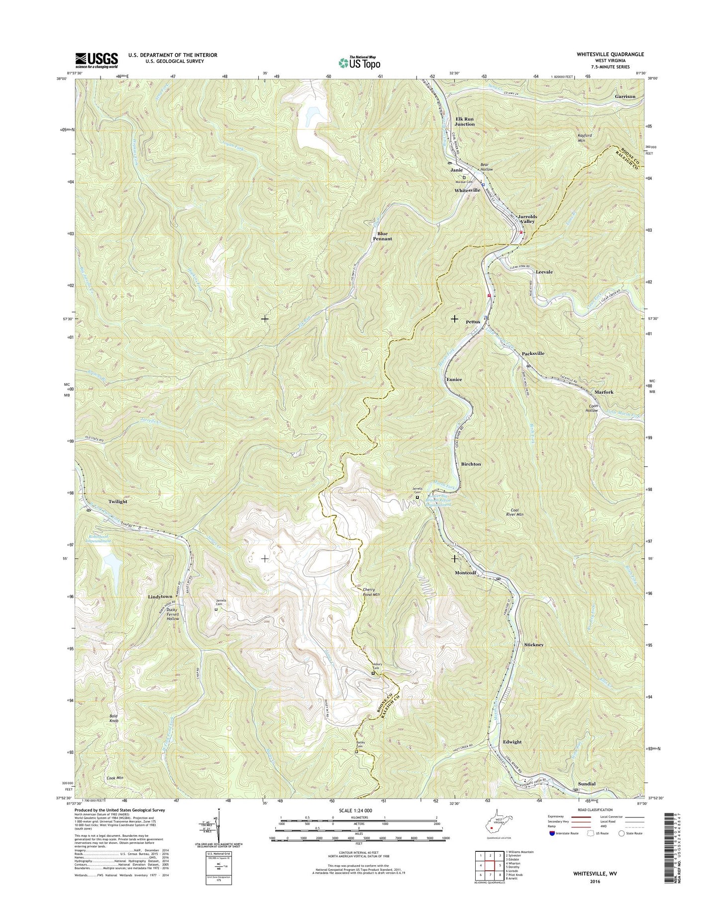
2023 topographic map quadrangle Whitesville in the state of West Virginia. Scale: 1:24000. Based on the newly updated USGS 7.5' US Topo map series, this map is in the following counties: Boone, Raleigh. The map contains contour data, water features, and other items you are used to seeing on USGS maps, but also has updated roads and other features. This is the next generation of topographic maps. Printed on high-quality waterproof paper with UV fade-resistant inks.
Quads adjacent to this one:
West: Wharton
Northwest: Williams Mountain
North: Sylvester
Northeast: Eskdale
East: Dorothy
Southeast: Arnett
South: Pilot Knob
Southwest: Lorado
This map covers the same area as the classic USGS quad with code o37081h5.
Contains the following named places: Asbury Cemetery, Bailey Cemetery, Bald Knob, Bear Hollow, Birch Fork, Birchton, Blue Pennant, Bradley Fork, Clear Fork, Coon Hollow, Ducky Ferrell Hollow, Edwight, Elk Run, Elk Run Junction, Ellis Creek, Eunice, Garrison, Hazy Creek, James Creek, Janie, Jarrells Cemetery, Jarrolds Valley, Leevale, Lindytown, Little Marsh Fork, Little Ugly Branch, Low Gap Branch, Lower Big Branch Refuse Impoundment, Marfork, Marsh Fork, Marsh Fork Elementary School, Marsh Fork High School, Marsh Fork Public Library, Matts Creek, Montcoal, Montcoal Post Office, Mooney School, Mordue Cemetery, Packsville, Packsville Post Office, Pettus, Pettus Elementary School, Raleigh - Boone Technical Center, Robinhood Impoundment, Rockhouse Creek, Seng Creek, Shumate Chapel, Shumate Creek, Spruce Lick Fork, Stickney, Stink Run, Sundial, Sundial Post Office, Toms Branch, Town of Whitesville, Twilight, Twilight Census Designated Place, Twilight Post Office, Walhonde Roadside Park, West Virginia State Police Troop 6 - Whitesville Detachment, Whitesville, Whitesville Elementary School, Whitesville Police Department, Whitesville Post Office, Whitesville Public Library, Whitesville Volunteer Fire Department, Whitesville Volunteer Fire Department Pettus Substation, ZIP Codes: 25204, 25209


