MyTopo
Julia Lake Wisconsin US Topo Map
Couldn't load pickup availability
Also explore the Julia Lake Forest Service Topo of this same quad for updated USFS data
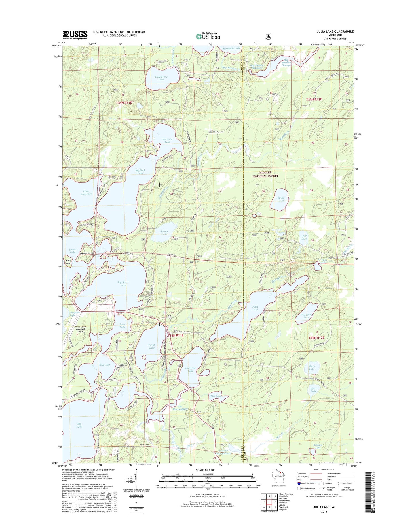
2022 topographic map quadrangle Julia Lake in the state of Wisconsin. Scale: 1:24000. Based on the newly updated USGS 7.5' US Topo map series, this map is in the following counties: Oneida, Forest. The map contains contour data, water features, and other items you are used to seeing on USGS maps, but also has updated roads and other features. This is the next generation of topographic maps. Printed on high-quality waterproof paper with UV fade-resistant inks.
Quads adjacent to this one:
West: Three Lakes
Northwest: Eagle River East
North: Anvil Lake
Northeast: Alvin NW
East: Alvin SW
Southeast: Argonne
South: Monico NE
Southwest: Starks
This map covers the same area as the classic USGS quad with code o45089g1.
Contains the following named places: Bailey Lake, Big Fork Lake, Big Lake, Big Stone Lake, Deer Lake, Denby Island, Dog Lake, Eagle River, East First Small Lake, Elm Lake, Fourmile Creek, Fourmile Lake, Furbush Creek, Furbush Lake, Hay Meadow Creek, Hay Meadow Creek 2WP944 Dam, Hay Meadow Flowage, Hay Meadow Flowage 7, Hemlock Grove, Julia Creek, Julia Lake, Kimball Creek Snowmobile Parking Lot, Laurel Lake, Laurel Lake Campground, Little Fork Lake, Lone Stone Creek, Lone Stone Lake, Mosquito Creek, Robbins Lake, Scott Creek, Scott Creek Impoundment, Scott Lake, Scott Lake-Shelp Lake State Natural Area, Scott-Shelp Lake Hemlock Grove Point of Interest, Second Small Lake, Seven Mile 1909c361 Dam, Seven Mile Lake 14, Sevenmile Creek, Shelp Lake, Spring Lake, The Thoroughfare, Three Lakes Municipal Airport, Three Lakes Seaplane Base, Virgin Lake, West First Small Lake, Whitefish Lake, Wolf Lake, Woodbury Lake, ZIP Code: 54562


